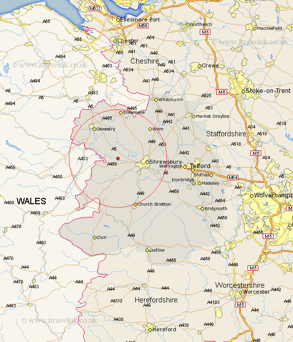
Shropshire Map Showing Location of Shrawardine
District: Shrewsbury and Atcham
Easting: 339235 Northing: 315491
Latitude: 52.73 Longitude: -2.9
 = Shrawardine
Easting: 339235 Northing: 315491
Latitude: 52.73 Longitude: -2.9
= Shrawardine
This Shrawardine map below is supplied by Google. Use the tools in the top left corner to zoom into street level or zoom out for a road map, you may also need to zoom in to see Shrawardine on the map. Click and drag the map to move around. If the map fails to load try and refresh your browser or zoom in or out (+ or -).
Update - it seems Google no longer allow people to use their maps for free! This Shrawardine map sometimes loads and sometimes gives a error. I am working on a solution.
Closest 30 Towns or Cities to Shrawardine (Population over 500)
Great Ness 3.71km Alberbury 3.84km Ford 3.84km Bicton 5.61km Baschurch 5.99km Westbury 6.5km Kinnerley 7.9km Hanwood 7.9km Great Hanwood 7.9km Pontesbury 9.33km West Felton 10.84km Minsterley 11.34km Shrewsbury 11.38km Pant 12.52km Baystonhill 12.53km Hadnall 12.89km Cockshut 13.4km Cockshutt 13.4km Condover 13.71km Oswestry 15.77km Whittington 16.29km Berrington 16.35km Llanyblodwel 16.66km Loppington 16.78km Saint Martins 17.18km St Martins 17.18km St. Martins 17.18km Shelve 17.6km Shawbury 17.72km Wem 17.9km