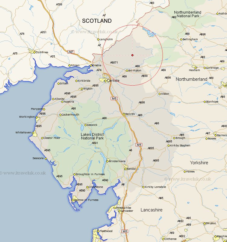
Cumbria Map Showing Location of Shopford
District: Carlisle
Easting: 356347 Northing: 573054
Latitude: 55.05 Longitude: -2.68
 = Shopford
Easting: 356347 Northing: 573054
Latitude: 55.05 Longitude: -2.68
= Shopford
This Shopford map below is supplied by Google. Use the tools in the top left corner to zoom into street level or zoom out for a road map, you may also need to zoom in to see Shopford on the map. Click and drag the map to move around. If the map fails to load try and refresh your browser or zoom in or out (+ or -).
Update - it seems Google no longer allow people to use their maps for free! This Shopford map sometimes loads and sometimes gives a error. I am working on a solution.
Closest 30 Towns or Cities to Shopford (Population over 500)
Brampton 11.57km Irthington 14.02km Farlam 14.82km Hayton 17.21km Longtown 18.9km Wetheral 22.09km Stanwix 23.08km Rockcliff 23.12km Rockcliffe 23.12km Carlisle 24.46km Burgh-by-Sands 27.7km Burgh by Sands 27.7km Burgh 27.7km Ainstable 27.98km Dalston 30.79km Kirkoswald 31.52km Thursby 33.6km Lasonby 35.23km Lazonby 35.23km Bowness-on-Solway 35.79km Bowness on Solway 35.79km Kirkbride 37.83km Wigton 38.33km Skelton 40.65km Langwathby 40.79km Hesket Newmarket 41.17km Westward 41.31km Caldbeck 42.31km Culgaith 44.8km Greystoke 46km