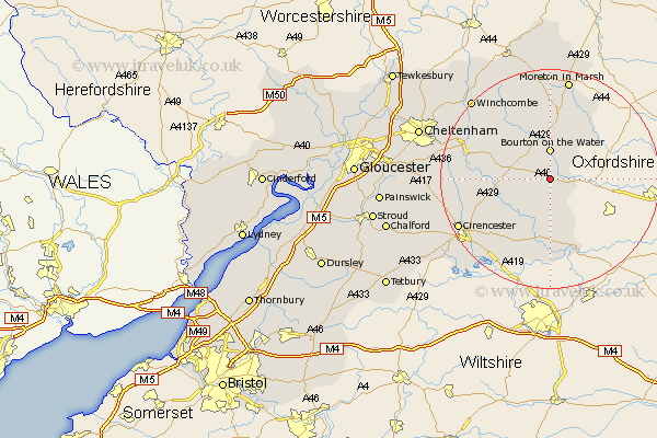
Gloucestershire Map Showing Location of Sherbourne
District: Cotswold
Easting: 417230 Northing: 213198
Latitude: 51.82 Longitude: -1.75
 = Sherbourne
Easting: 417230 Northing: 213198
Latitude: 51.82 Longitude: -1.75
= Sherbourne
This Sherbourne map below is supplied by Google. Use the tools in the top left corner to zoom into street level or zoom out for a road map, you may also need to zoom in to see Sherbourne on the map. Click and drag the map to move around. If the map fails to load try and refresh your browser or zoom in or out (+ or -).
Update - it seems Google no longer allow people to use their maps for free! This Sherbourne map sometimes loads and sometimes gives a error. I am working on a solution.
Closest 30 Towns or Cities to Sherbourne (Population over 500)
Northleach 4.94km Bourton-on-the-Water 5.56km Bourton on the Water 5.56km Bibury 8.72km Bledington 10.91km Quenington 11.35km Chedworth 11.61km Stow on the Wold 13.02km Stow-on-the-Wold 13.02km Fairford 13.18km Lechlade 13.43km Withington 13.87km Andoversford 14.82km Ampney St. Peter 15.89km Ampney 15.89km Ampney St Peter 15.89km Ampney Saint Peter 15.89km North Cerney 15.91km Kempsford 16.72km Cicester 18.54km Cirencester 18.54km Moreton-in-Marsh 18.84km Moreton in the Marsh 18.84km Moreton in Marsh 18.84km Winchcombe 20.2km Winchcomb 20.2km Siddington 20.24km Cerney 20.25km South Cerney 20.25km Blockley 22.24km