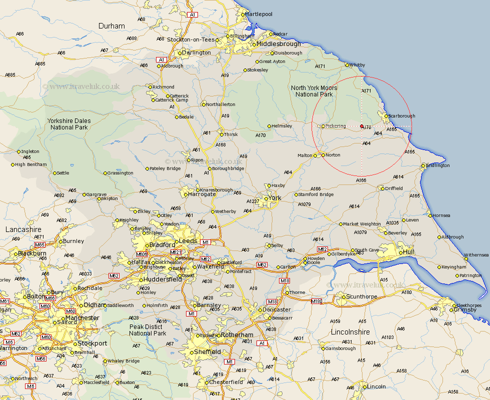
Yorkshire Map Showing Location of Sawdon
District: Scarborough
Easting: 494464 Northing: 484801
Latitude: 54.25 Longitude: -0.55
 = Sawdon
Easting: 494464 Northing: 484801
Latitude: 54.25 Longitude: -0.55
= Sawdon
This Sawdon map below is supplied by Google. Use the tools in the top left corner to zoom into street level or zoom out for a road map, you may also need to zoom in to see Sawdon on the map. Click and drag the map to move around. If the map fails to load try and refresh your browser or zoom in or out (+ or -).
Update - it seems Google no longer allow people to use their maps for free! This Sawdon map sometimes loads and sometimes gives a error. I am working on a solution.
Closest 30 Towns or Cities to Sawdon (Population over 500)
Brompton 3.7km Snainton 4.29km Yedingham 7.05km Seamer 7.8km Scalby 8.43km Sherburn 9.51km Scarborough 9.74km Willerby 9.86km Eastfield 9.92km Burniston 10.6km Thornton Dale 10.99km Thornton-le-Dale 10.99km Cloughton 11.96km Cayton 12.06km Pickering 14.08km Rillington 14.79km Filey 17.53km Hunmanby 17.78km Great Driffield 18.33km Fylingdales 18.57km Norton 18.91km Malton 21.32km Hawsker 22.26km Sleights 23.49km Kirkby Moorside 24.97km Kirby Moorside 24.97km Kilham 25.24km Slingsby 26.31km Whitby 26.83km Wetwang 27.82km