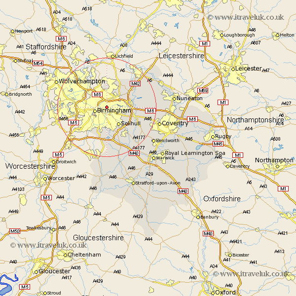
Warwickshire Map Showing Location of Saltley
District: Birmingham
Easting: 410185 Northing: 287315
Latitude: 52.48 Longitude: -1.85
 = Saltley
Easting: 410185 Northing: 287315
Latitude: 52.48 Longitude: -1.85
= Saltley
This Saltley map below is supplied by Google. Use the tools in the top left corner to zoom into street level or zoom out for a road map, you may also need to zoom in to see Saltley on the map. Click and drag the map to move around. If the map fails to load try and refresh your browser or zoom in or out (+ or -).
Update - it seems Google no longer allow people to use their maps for free! This Saltley map sometimes loads and sometimes gives a error. I am working on a solution.
Closest 30 Towns or Cities to Saltley (Population over 500)
Birmingham 4.88km Castle Bromwich 4.88km Water Orton 8.11km Solihull 8.68km Sutton Coldfield 9.54km Bickenhill 9.76km Coleshill 10.32km Hampton in Arden 12.58km Kingsbury 13.5km Middleton 13.64km Knowle 13.65km Nether Whitacre 14.63km Shustoke 14.79km Hurley 16.43km Meriden 16.76km Temple Balsall 17.2km Berkswell 17.36km Berkeswell 17.36km Lapworth 18km Arley 18.15km Fillongley 18.16km Ullenhall 20.51km Corley 20.66km Dordon 21.02km Rowington 21.14km Polesworth 21.31km Coventry 21.64km Allesley 21.64km Keresley 22.16km Atherstone 22.31km