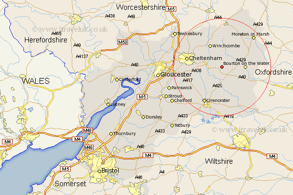
Gloucestershire Map Showing Location of Salperton
District: Cotswold
Easting: 408032 Northing: 218735
Latitude: 51.87 Longitude: -1.88
 = Salperton
Easting: 408032 Northing: 218735
Latitude: 51.87 Longitude: -1.88
= Salperton
This Salperton map below is supplied by Google. Use the tools in the top left corner to zoom into street level or zoom out for a road map, you may also need to zoom in to see Salperton on the map. Click and drag the map to move around. If the map fails to load try and refresh your browser or zoom in or out (+ or -).
Update - it seems Google no longer allow people to use their maps for free! This Salperton map sometimes loads and sometimes gives a error. I am working on a solution.
Closest 30 Towns or Cities to Salperton (Population over 500)
Andoversford 4.58km Northleach 5.9km Withington 5.9km Chedworth 7.76km Bourton-on-the-Water 9.15km Bourton on the Water 9.15km Winchcomb 10.33km Winchcombe 10.33km North Cerney 12.51km Charlton Kings 12.59km Stow on the Wold 12.68km Stow-on-the-Wold 12.68km Southam 13.62km Leckhampton 13.73km Bibury 13.76km Cheltenham 14.22km Alderton 15.23km Bishops Cleeve 15.62km Shurdington 16.02km Cirencester 16.35km Cicester 16.35km Swindon 16.61km Bledington 17.26km Dumbleton 17.63km Quenington 18.04km Moreton-in-Marsh 18.06km Moreton in the Marsh 18.06km Moreton in Marsh 18.06km Ampney St Peter 18.54km Ampney Saint Peter 18.54km