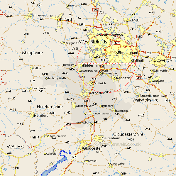
Worcestershire Map Showing Location of Rubery
District: Bromsgrove
Easting: 398865 Northing: 278040
Latitude: 52.4 Longitude: -2.02
 = Rubery
Easting: 398865 Northing: 278040
Latitude: 52.4 Longitude: -2.02
= Rubery
This Rubery map below is supplied by Google. Use the tools in the top left corner to zoom into street level or zoom out for a road map, you may also need to zoom in to see Rubery on the map. Click and drag the map to move around. If the map fails to load try and refresh your browser or zoom in or out (+ or -).
Update - it seems Google no longer allow people to use their maps for free! This Rubery map sometimes loads and sometimes gives a error. I am working on a solution.
Closest 30 Towns or Cities to Rubery (Population over 500)
Romsley 2.93km Lickey End 4.34km Lickey 4.34km Coston Hackett 4.34km Cofton Hackett 4.34km Halesowen 6km Barnt Green 6km Belbroughton 6.78km Clent 7.03km Hagley 7.73km Great Dodford 7.93km Dodford 7.93km Bromsgrove 8.16km Alvechurch 8.69km Netherton 10.31km Stourbridge 10.84km Oldbury 11.12km Churchill 11.46km Chaddesley Corbett 11.6km Stoke Prior 11.63km Beoley 12.19km Redditch 12.48km Radditch 12.48km Stone 12.98km Hanbury 14.99km Kidderminster 15.94km Hartlebury 16.47km Feckenham 16.83km Droitwich 17.37km Astwood Bank 17.61km