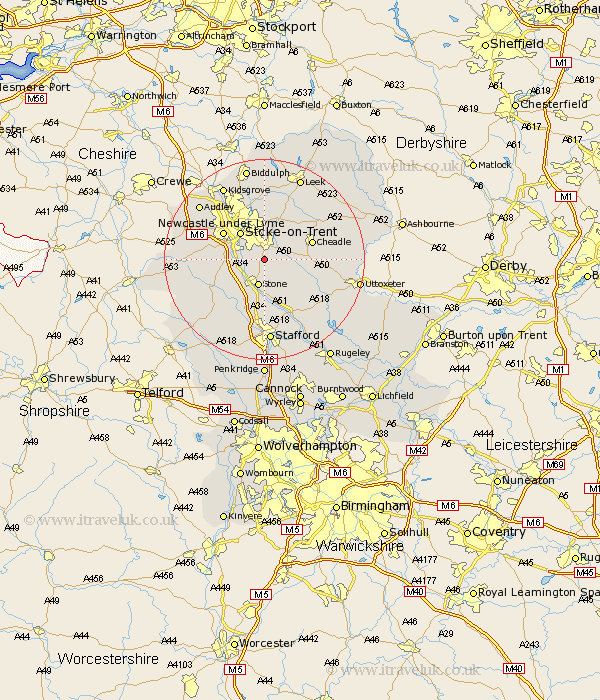
Staffordshire Map Showing Location of Rough Close
District: Stafford
Easting: 392161 Northing: 339221
Latitude: 52.95 Longitude: -2.12
 = Rough Close
Easting: 392161 Northing: 339221
Latitude: 52.95 Longitude: -2.12
= Rough Close
This Rough Close map below is supplied by Google. Use the tools in the top left corner to zoom into street level or zoom out for a road map, you may also need to zoom in to see Rough Close on the map. Click and drag the map to move around. If the map fails to load try and refresh your browser or zoom in or out (+ or -).
Update - it seems Google no longer allow people to use their maps for free! This Rough Close map sometimes loads and sometimes gives a error. I am working on a solution.
Closest 30 Towns or Cities to Rough Close (Population over 500)
Barlaston 3.35km Fulford 3.35km Hilderstone 4.32km Caverswall 4.99km Stone 5.67km Draycott in the Moors 5.88km Draycott 5.88km Stoke upon Trent 7.13km Stoke 7.13km Stoke-upon-Trent 7.13km Stoke on Trent 7.13km Stoke-on-Trent 7.13km Swinnerton 7.66km Swynnerton 7.66km Newcastle under Lyme 9.59km Newcastle-under-Lyme 9.59km Cheadle 9.67km Church Leigh 10.71km Leigh 10.71km Whitmore 11.32km Checkley 11.32km Kingsley 11.61km Standon 11.77km Cheddleton 12.44km Keele 12.47km Hopton 13.03km Silverdale 13.4km Ipstones 13.66km Eccleshall 14.27km Oakamoor 14.5km