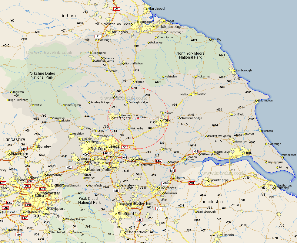
Yorkshire Map Showing Location of Kirk Hammerton
Population: 517
District: Harrogate
Easting: 445898 Northing: 454386
Latitude: 53.98 Longitude: -1.3
 = Kirk Hammerton
District: Harrogate
Easting: 445898 Northing: 454386
Latitude: 53.98 Longitude: -1.3
= Kirk Hammerton
This Kirk Hammerton map below is supplied by Google. Use the tools in the top left corner to zoom into street level or zoom out for a road map, you may also need to zoom in to see Kirk Hammerton on the map. Click and drag the map to move around. If the map fails to load try and refresh your browser or zoom in or out (+ or -).
Update - it seems Google no longer allow people to use their maps for free! This Kirk Hammerton map sometimes loads and sometimes gives a error. I am working on a solution.
Closest 30 Towns or Cities to Kirk Hammerton (Population over 500)
Green Hammerton 1.86km Whixley 3.87km Long Marston 5.72km Linton upon Ouse 6.45km Linton-on-Ouse 6.45km Linton on Ouse 6.45km Linton 6.45km Ouseburn 7.5km Great Ouseburn 7.5km Rufforth 7.52km Thorp Arch 7.72km Thorpe Arch 7.72km Newton upon Ouse 7.78km Newton 7.78km Wetherby 9.2km Boston Spa 9.82km Upper Poppleton 9.98km Poppleton 9.98km Marton le Moor 10.25km Marton 10.25km Tollerton 10.75km Skelton 11.05km Knaresborough 11.05km Shipton 11.27km Tadcaster 11.33km Collingham 11.34km Bramham 11.59km Alne 11.94km Boroughbridge 12.9km Copmanthorpe 13.18km