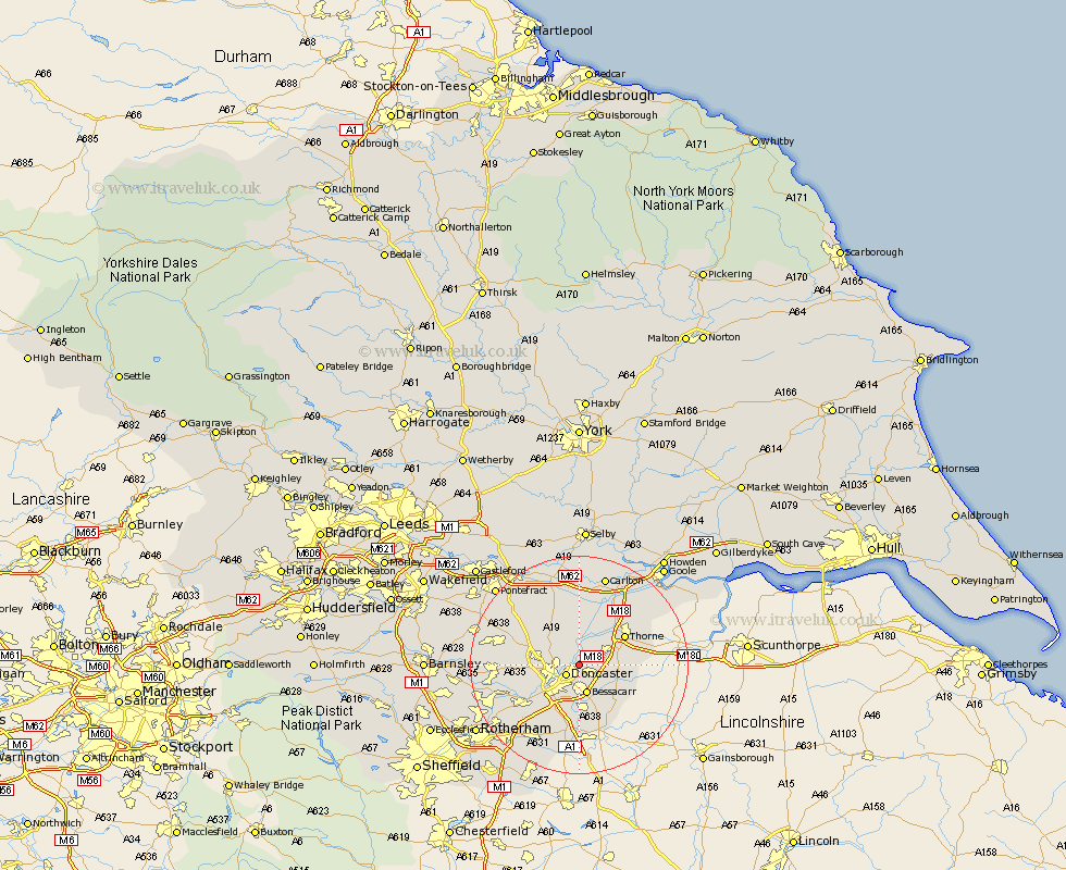
Yorkshire Map Showing Location of Kirk Sandall
Population: 11864
Area Size (ha): 311
District: Doncaster
Easting: 460726 Northing: 406347
Latitude: 53.55 Longitude: -1.08
 = Kirk Sandall
Area Size (ha): 311
District: Doncaster
Easting: 460726 Northing: 406347
Latitude: 53.55 Longitude: -1.08
= Kirk Sandall
This Kirk Sandall map below is supplied by Google. Use the tools in the top left corner to zoom into street level or zoom out for a road map, you may also need to zoom in to see Kirk Sandall on the map. Click and drag the map to move around. If the map fails to load try and refresh your browser or zoom in or out (+ or -).
Update - it seems Google no longer allow people to use their maps for free! This Kirk Sandall map sometimes loads and sometimes gives a error. I am working on a solution.
Closest 30 Towns or Cities to Kirk Sandall (Population over 500)
Barnby Dun 2.16km Barnby Don 2.16km Armthorpe 2.88km Doncaster 2.88km Fleckney 3.79km Bentley 4.78km Bessacarr 5.49km Cantley 5.98km Stainforth 6.47km Hatfield 6.86km Adwick le Street 6.86km Carcroft 6.86km Fishlake 7.09km Auckley 7.09km Sutton 7.82km Askern 8.11km Warmsworth 8.64km Moorends 9.19km Rossington 9.33km Thorne 9.5km Sprotboro 9.51km Sprotbrough 9.51km Campsall 9.93km Wadsworth 10.26km Wadworth 10.26km Norton 11.37km Finningley 11.38km Brodsworth 12.11km Conisbrough 12.79km Conisborough 12.79km