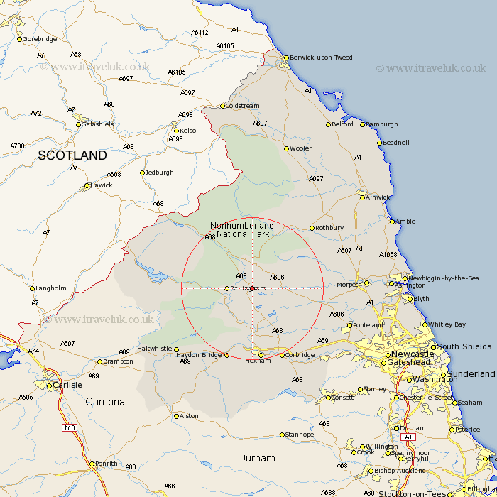
Northumberland Map Showing Location of Ridsdale
District: Tynedale
Easting: 391503 Northing: 583976
Latitude: 55.15 Longitude: -2.13
 = Ridsdale
Easting: 391503 Northing: 583976
Latitude: 55.15 Longitude: -2.13
= Ridsdale
This Ridsdale map below is supplied by Google. Use the tools in the top left corner to zoom into street level or zoom out for a road map, you may also need to zoom in to see Ridsdale on the map. Click and drag the map to move around. If the map fails to load try and refresh your browser or zoom in or out (+ or -).
Update - it seems Google no longer allow people to use their maps for free! This Ridsdale map sometimes loads and sometimes gives a error. I am working on a solution.
Closest 30 Towns or Cities to Ridsdale (Population over 500)
Bellingham 6.35km Otterburn 7.71km Wark 10.67km Humshaugh 12.98km Challerton 13.15km Chollerton 13.15km Newbrough 16.98km Warden 18.54km Acomb 18.66km Sandhoe 19.28km Hexham 20.49km Haydon Bridge 21.35km Stamfordham 21.36km Corbridge 21.69km Rothbury 23.72km Longhorsley 25.05km Ridingmill 26.33km Riding 26.33km Ovingham 26.53km Haltwhistle 26.62km Longframlington 26.69km Ponteland 26.8km Wylam 27.22km Stocksfield 27.77km Slaley 28.52km Prudhoe 28.64km Morpeth 28.65km Hebron 28.82km Stannington 30.19km Swarland 30.36km