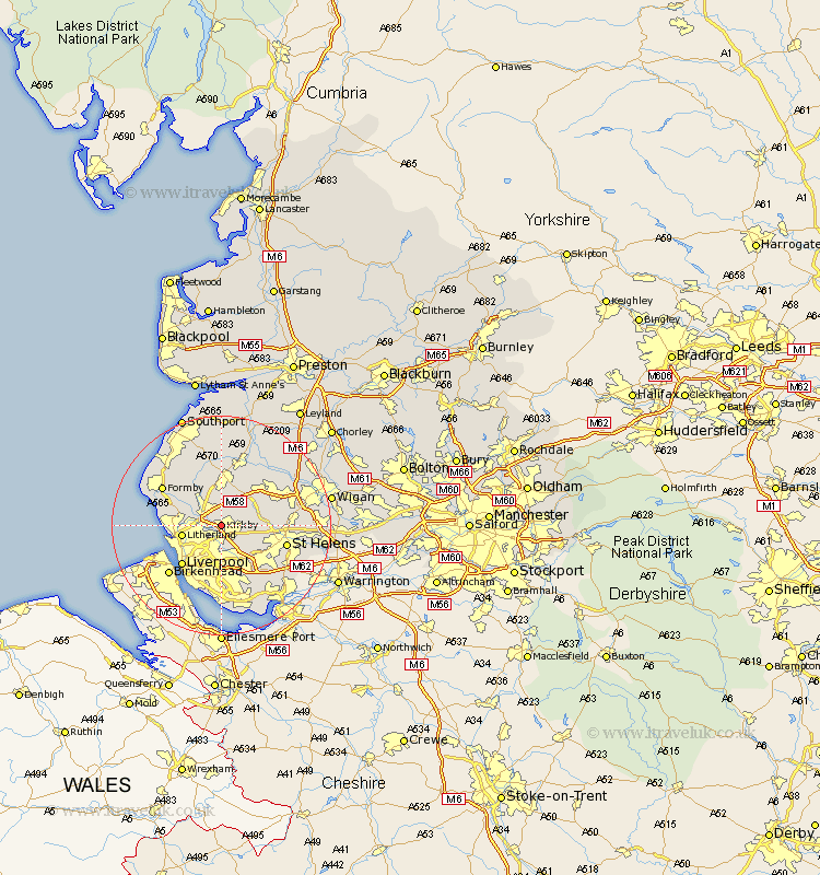
Lancashire Map Showing Location of Kirkby
Population: 42113
Area Size (ha): 1121
District: Knowsley
Easting: 340283 Northing: 398913
Latitude: 53.48 Longitude: -2.9
 = Kirkby
Area Size (ha): 1121
District: Knowsley
Easting: 340283 Northing: 398913
Latitude: 53.48 Longitude: -2.9
= Kirkby
This Kirkby map below is supplied by Google. Use the tools in the top left corner to zoom into street level or zoom out for a road map, you may also need to zoom in to see Kirkby on the map. Click and drag the map to move around. If the map fails to load try and refresh your browser or zoom in or out (+ or -).
Update - it seems Google no longer allow people to use their maps for free! This Kirkby map sometimes loads and sometimes gives a error. I am working on a solution.
Closest 30 Towns or Cities to Kirkby (Population over 500)
Melling 1.1km Aintree 2.88km Sefton 4.79km Knowsley 4.97km Maghull 4.97km Aughton 5.67km Lydiate 5.77km Bickerstaffe 5.77km Litherland 6.87km Thornton 6.87km Rainford 7.59km Bootle 7.94km Ince Blundell 8.56km Eccleston 8.56km Skelmersdale 8.64km Crosby 8.84km Ormskirk 9.27km Huyton 9.84km Huyton with Roby 9.84km Liverpool 9.93km Prescot 9.93km Prescott 9.93km Hightown 10.59km Lathom 10.79km Halsall 11.6km Saint Helens 11.64km St Helens 11.64km St. Helens 11.64km Burscough 11.96km Formby 12.38km