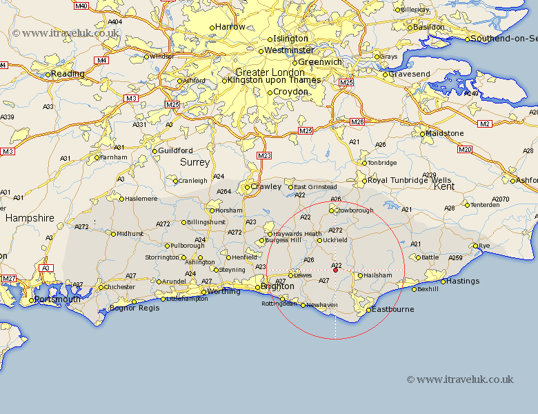
Sussex Map Showing Location of Pyecombe
District: Wealden
Easting: 552393 Northing: 111609
Latitude: 50.88 Longitude: 0.17
 = Pyecombe
Easting: 552393 Northing: 111609
Latitude: 50.88 Longitude: 0.17
= Pyecombe
This Pyecombe map below is supplied by Google. Use the tools in the top left corner to zoom into street level or zoom out for a road map, you may also need to zoom in to see Pyecombe on the map. Click and drag the map to move around. If the map fails to load try and refresh your browser or zoom in or out (+ or -).
Update - it seems Google no longer allow people to use their maps for free! This Pyecombe map sometimes loads and sometimes gives a error. I am working on a solution.
Closest 30 Towns or Cities to Pyecombe (Population over 500)
Chiddingly 2.2km Laughton 2.34km East Hoathly 3.71km Chalvington 3.88km Hellingly 6.13km Horam 6.92km Horeham 6.92km Ringmer 7.02km Hailsham 7.25km Framfield 7.78km Isfield 8.95km Alfriston 9.34km Barcombe Mills Station 9.54km Warbleton 9.89km Heathfield 10.21km Polegate 10.38km Uckfield 10.38km Hadlow Down 11.18km Buxted 11.36km Jevington 11.66km Herstmonceux 11.69km Hurstmonceux 11.69km Hurstmonceaux 11.69km Maresfield 12.56km Chailey 12.87km Lewes 13km Kingston 13.39km Kingston near Lewes 13.39km Seaford 13.78km Newick 14.02km