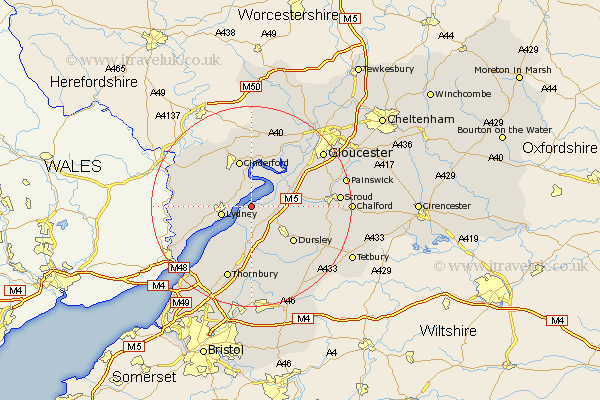
Gloucestershire Map Showing Location of Purton
District: Stroud
Easting: 368927 Northing: 203989
Latitude: 51.73 Longitude: -2.45
 = Purton
Easting: 368927 Northing: 203989
Latitude: 51.73 Longitude: -2.45
= Purton
This Purton map below is supplied by Google. Use the tools in the top left corner to zoom into street level or zoom out for a road map, you may also need to zoom in to see Purton on the map. Click and drag the map to move around. If the map fails to load try and refresh your browser or zoom in or out (+ or -).
Update - it seems Google no longer allow people to use their maps for free! This Purton map sometimes loads and sometimes gives a error. I am working on a solution.
Closest 30 Towns or Cities to Purton (Population over 500)
Awre 3.89km Slimbridge 4.95km Berkeley 5.56km Lydney 6.03km Frampton on Severn 6.83km Frampton-on-Severn 6.83km Frampton 6.83km Newham 7.51km Newnham 7.51km Cam 7.82km Coaley 8.24km Bream 8.25km North Nibley 8.72km Stone 9.33km Cinderford 9.55km Uley 10.74km Dursley 10.93km Woolaston 10.98km Falfield 11.12km Stonehouse 11.62km Coleford 12.71km Cromhall 12.96km Wotton under Edge 13.08km Wotton-under-Edge 13.08km Charfield 13.17km Drybrook 13.42km Hardwicke 13.87km Randwick 14.26km Quedgeley 14.75km Longhope 14.83km