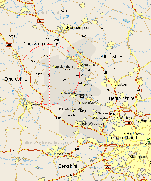
Buckinghamshire Map Showing Location of Preston Bisset
District: Aylesbury Vale
Easting: 466429 Northing: 228434
Latitude: 51.95 Longitude: -1.03
 = Preston Bisset
Easting: 466429 Northing: 228434
Latitude: 51.95 Longitude: -1.03
= Preston Bisset
This Preston Bisset map below is supplied by Google. Use the tools in the top left corner to zoom into street level or zoom out for a road map, you may also need to zoom in to see Preston Bisset on the map. Click and drag the map to move around. If the map fails to load try and refresh your browser or zoom in or out (+ or -).
Update - it seems Google no longer allow people to use their maps for free! This Preston Bisset map sometimes loads and sometimes gives a error. I am working on a solution.
Closest 30 Towns or Cities to Preston Bisset (Population over 500)
Twyford 1.85km Gawcott 2.94km Tingewick 3.87km Claydon 3.9km Steeple Claydon 3.9km Marsh Gibbon 5.68km Padbury 6km Buckingham 6.53km Maids Moreton 7.19km Stowe 7.5km Thornborough 8.81km Grendon Underwood 9.54km Akeley 10.33km Winslow 11.42km Great Horwood 11.57km Quainton 12.24km North Marston 13.63km Brill 14.87km Mursley 14.97km Waddesdon 15.25km Whitchurch 15.59km Whitechurch 15.59km Stony Stratford 16.77km Oakley 16.84km Newton Longville 18.37km Wolverton 18.54km Shenley 18.66km Shenley Church End 18.66km Shenley Brook End 19.09km Bradwell 19.46km