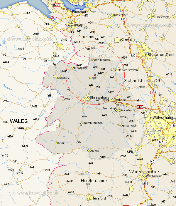
Shropshire Map Showing Location of Preesgreen
District: North Shropshire
Easting: 355126 Northing: 330157
Latitude: 52.87 Longitude: -2.67
 = Preesgreen
Easting: 355126 Northing: 330157
Latitude: 52.87 Longitude: -2.67
= Preesgreen
This Preesgreen map below is supplied by Google. Use the tools in the top left corner to zoom into street level or zoom out for a road map, you may also need to zoom in to see Preesgreen on the map. Click and drag the map to move around. If the map fails to load try and refresh your browser or zoom in or out (+ or -).
Update - it seems Google no longer allow people to use their maps for free! This Preesgreen map sometimes loads and sometimes gives a error. I am working on a solution.
Closest 30 Towns or Cities to Preesgreen (Population over 500)
Precs 1.85km Prees 1.85km Wem 3.84km Whixall 5km Stanton upon Hine Heath 5.67km Stanton 5.67km Hodnet 5.89km Loppington 7.83km Stoke upon Tern 9.14km Stoke 9.14km Shawbury 9.34km Whitchurch 11.18km Hadnall 11.62km Cockshut 12.45km Cockshutt 12.45km Welshampton 12.85km High Ercall 13.73km Ercall Magna 13.73km Market Drayton 13.92km Hinstock 15.02km Rodington 15.21km Ellesmere 15.56km Cherrington 15.78km Baschurch 16.33km Cheswardine 16.78km Norton in Hales 17.23km Shrewsbury 17.27km Bicton 17.94km Great Ness 19.22km Wrockwardine 19.72km