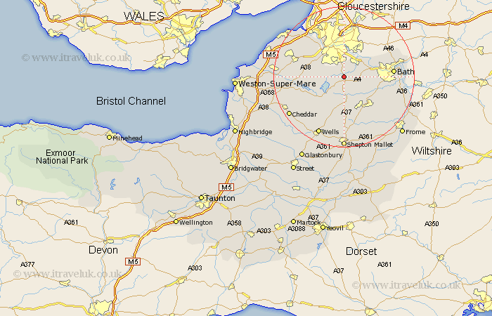
Somerset Map Showing Location of Pensford
Easting: 361715 Northing: 163269
Latitude: 51.37 Longitude: -2.55
 = Pensford
Latitude: 51.37 Longitude: -2.55
= Pensford
This Pensford map below is supplied by Google. Use the tools in the top left corner to zoom into street level or zoom out for a road map, you may also need to zoom in to see Pensford on the map. Click and drag the map to move around. If the map fails to load try and refresh your browser or zoom in or out (+ or -).
Update - it seems Google no longer allow people to use their maps for free! This Pensford map sometimes loads and sometimes gives a error. I am working on a solution.
Closest 30 Towns or Cities to Pensford (Population over 500)
Publow 1.16km Compton Dando 2.96km Temple Cloud 3.51km Whitchurch 3.88km Clutton 3.89km Chew Magna 4.63km Great Chew 4.63km Keynsham 5.07km Farmborough 5.08km Farmboro 5.08km Chew Stoke 6.08km Dundry 6.87km Winford 7.18km Timsbury 7.24km Saltford 7.87km Paulton 8.19km Camerton 8.9km Farrington Gurney 9.34km East Harptree 9.41km Long Ashton 10.15km Compton Martin 10.16km Chewton Mendip 11.36km Stratton 11.65km Stratton-on-the-Fosse 11.65km Stratton on the Fosse 11.65km Chilcompton 11.65km Flax Bourton 11.8km Bourton 11.8km Blagdon 12.16km Wellow 12.84km