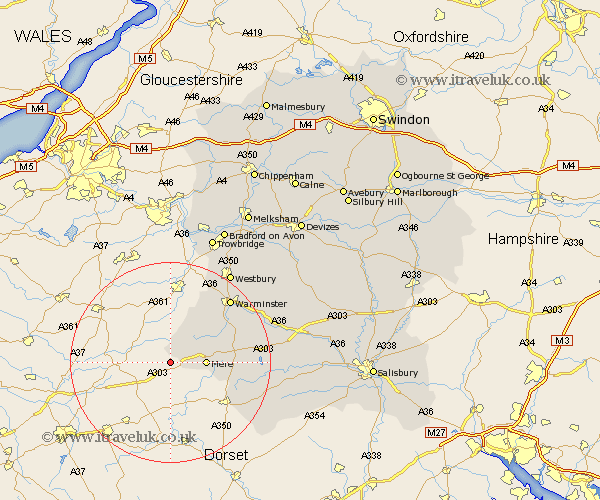
Wiltshire Map Showing Location of Penselwood
District: Salisbury
Easting: 375487 Northing: 131670
Latitude: 51.08 Longitude: -2.35
 = Penselwood
Easting: 375487 Northing: 131670
Latitude: 51.08 Longitude: -2.35
= Penselwood
This Penselwood map below is supplied by Google. Use the tools in the top left corner to zoom into street level or zoom out for a road map, you may also need to zoom in to see Penselwood on the map. Click and drag the map to move around. If the map fails to load try and refresh your browser or zoom in or out (+ or -).
Update - it seems Google no longer allow people to use their maps for free! This Penselwood map sometimes loads and sometimes gives a error. I am working on a solution.
Closest 30 Towns or Cities to Penselwood (Population over 500)
Zeal 2.98km Zeals 2.98km Mere 6.98km East Knoyle 12.94km Bishop's Knoyle 12.94km Longbridge Deverill 13.98km Semley 15.04km Hindon 15.25km Corsley 16.39km Warminster 17.42km Tisbury 18.72km Dilton 19.69km Heytesbury 19.72km Westbury 21.88km Codford 22.21km Southwick 23.68km North Bradley 24.1km Fovant 24.74km Dinton 25.61km Bratton 26.09km Westwood 26.37km Edington 26.83km Trowbridge 27.2km Limpley Stoke 27.82km Hilperton 28.43km Steeple Ashton 28.44km Longford 29.62km Steeple Langford 29.62km Bradford on Avon 29.7km Bradford-on-Avon 29.7km