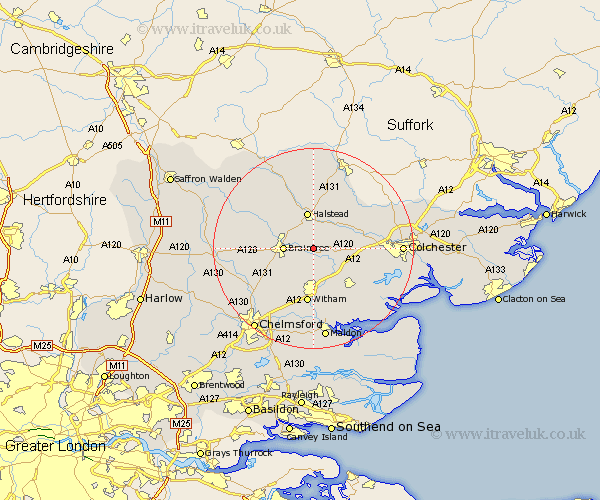
Essex Map Showing Location of Pattiswick
District: Braintree
Easting: 582363 Northing: 223894
Latitude: 51.88 Longitude: 0.65
 = Pattiswick
Easting: 582363 Northing: 223894
Latitude: 51.88 Longitude: 0.65
= Pattiswick
This Pattiswick map below is supplied by Google. Use the tools in the top left corner to zoom into street level or zoom out for a road map, you may also need to zoom in to see Pattiswick on the map. Click and drag the map to move around. If the map fails to load try and refresh your browser or zoom in or out (+ or -).
Update - it seems Google no longer allow people to use their maps for free! This Pattiswick map sometimes loads and sometimes gives a error. I am working on a solution.
Closest 30 Towns or Cities to Pattiswick (Population over 500)
Stisted 2.29km Bradwell 2.94km Coggeshall 2.94km Rayne 4.93km Cressing 5.05km Rivenhall 5.68km Braintree 5.72km Feering 5.89km Kelvedon 6.53km Earls Colne 6.53km Great Tey 7.11km Gosfield 7.2km Halstead 7.5km Wakes Colne 7.8km Black Notley 7.8km Chapel 8.82km Chappel 8.82km Panfield 9.15km Marks Tey 9.34km Great Totham 9.88km Totham 9.88km Sible Hedingham 10.34km Tiptree 10.89km Fordham 10.94km Copford 10.94km Wickham Bishops 11.18km Witham 11.18km Terling 11.53km Castle Hedingham 11.64km Hatfield Peverel 11.64km