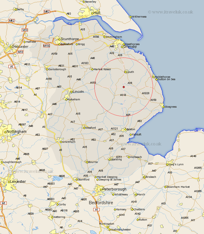
Lincolnshire Map Showing Location of Oxcombe
District: East Lindsey
Easting: 531149 Northing: 376246
Latitude: 53.27 Longitude: -0.03
 = Oxcombe
Easting: 531149 Northing: 376246
Latitude: 53.27 Longitude: -0.03
= Oxcombe
This Oxcombe map below is supplied by Google. Use the tools in the top left corner to zoom into street level or zoom out for a road map, you may also need to zoom in to see Oxcombe on the map. Click and drag the map to move around. If the map fails to load try and refresh your browser or zoom in or out (+ or -).
Update - it seems Google no longer allow people to use their maps for free! This Oxcombe map sometimes loads and sometimes gives a error. I am working on a solution.
Closest 30 Towns or Cities to Oxcombe (Population over 500)
Legbourne 9.25km Banovallum 9.26km Horncastle 9.26km Mareham 9.54km Mareham-on-the-Hill 9.54km Mareham on the Hill 9.54km Louth 11.17km Spilsby 12.84km Grimoldby 13.55km Manby 14.22km Alford 14.53km Willoughby 16.49km Woodhall Spa 17.82km Wragby 17.83km Coningsby 18.9km Bardney 19.66km Huttoft 20.04km Mablethorpe 20.23km Holton 20.29km Fulstow 20.41km Carrington 20.42km Saltfleetby 20.66km Saltfleetby St Clement 20.66km Saltfleetby St. Clement 20.66km Saltfleetby Saint Clement 20.66km Stickney 20.66km binbrook 21.03km Tattershall 21.61km Sutton on Sea 21.77km Sutton-on-Sea 21.77km