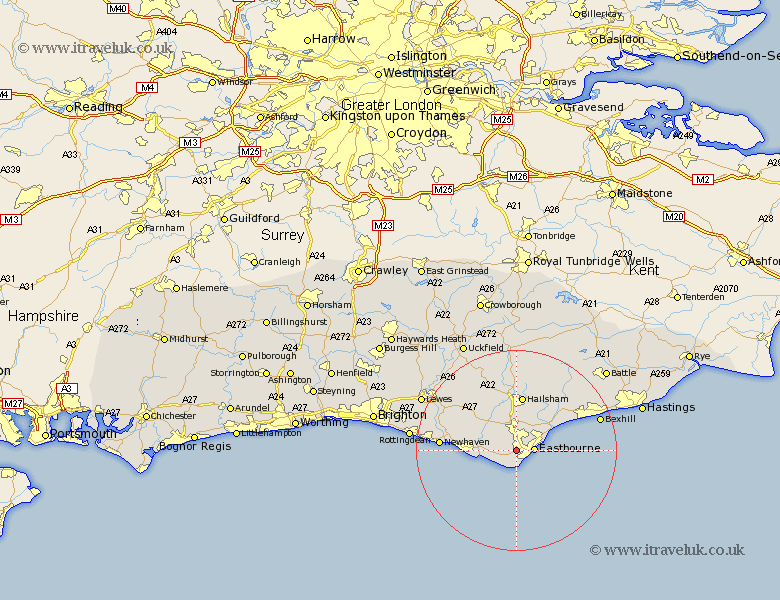
Sussex Map Showing Location of Old Town
District: Eastbourne
Easting: 558648 Northing: 98822
Latitude: 50.77 Longitude: 0.25
 = Old Town
Easting: 558648 Northing: 98822
Latitude: 50.77 Longitude: 0.25
= Old Town
This Old Town map below is supplied by Google. Use the tools in the top left corner to zoom into street level or zoom out for a road map, you may also need to zoom in to see Old Town on the map. Click and drag the map to move around. If the map fails to load try and refresh your browser or zoom in or out (+ or -).
Update - it seems Google no longer allow people to use their maps for free! This Old Town map sometimes loads and sometimes gives a error. I am working on a solution.
Closest 30 Towns or Cities to Old Town (Population over 500)
Jevington 2.98km Eastbourne 3.54km Polegate 3.88km Friston 3.98km Alfriston 7.95km Pevensey 7.95km Pevensey Bay 9km Seaford 10.55km Hellingly 11.12km Hailsham 11.18km Chalvington 11.63km Herstmonceux 14.23km Hurstmonceux 14.23km Hurstmonceaux 14.23km Laughton 15.34km Newhaven 15.35km Chiddingly 15.54km Ninfield 16.15km Horeham 16.68km Horam 16.68km East Hoathly 17.68km Bexhill 17.76km Ringmer 18.27km Warbleton 18.67km Catsfield 19.12km Heathfield 20.42km Crowhurst 20.79km Kingston 20.9km Kingston near Lewes 20.9km Barcombe Mills Station 21.24km