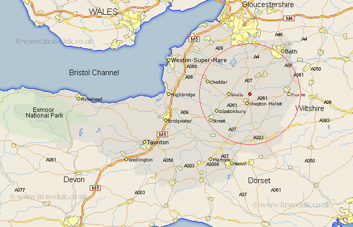
Somerset Map Showing Location of Oakhill
District: Mendip
Easting: 362754 Northing: 146581
Latitude: 51.22 Longitude: -2.53
 = Oakhill
Easting: 362754 Northing: 146581
Latitude: 51.22 Longitude: -2.53
= Oakhill
This Oakhill map below is supplied by Google. Use the tools in the top left corner to zoom into street level or zoom out for a road map, you may also need to zoom in to see Oakhill on the map. Click and drag the map to move around. If the map fails to load try and refresh your browser or zoom in or out (+ or -).
Update - it seems Google no longer allow people to use their maps for free! This Oakhill map sometimes loads and sometimes gives a error. I am working on a solution.
Closest 30 Towns or Cities to Oakhill (Population over 500)
Shepun 3.89km Shepton Mallet 3.89km Holcombe 3.94km Coleford 5.42km Leigh 5.8km Leigh on Mendip 5.8km Leigh-on-Mendip 5.8km Leigh upon Mendip 5.8km Stratton-on-the-Fosse 6.02km Chilcompton 6.02km Stratton 6.02km Stratton on the Fosse 6.02km Chewton Mendip 6.56km Pilton 6.56km Farrington Gurney 7.41km Evercreech 7.77km Wells 8.13km Kilmersdon 8.91km Kilmersden 8.91km Mells 9.47km Paulton 9.55km Wookey 10.61km Nunney 10.61km West Pennard 11.01km Ditcheat 11.12km East Harptree 11.58km Timsbury 11.65km Compton Martin 12.32km Camerton 12.54km Westbury 12.9km