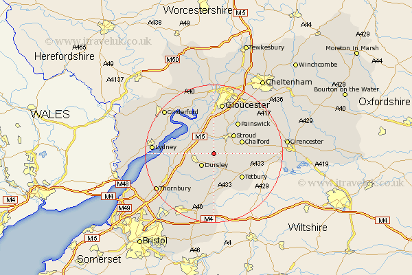
Gloucestershire Map Showing Location of Nymphsfield
District: Stroud
Easting: 380421 Northing: 200228
Latitude: 51.7 Longitude: -2.28
 = Nymphsfield
Easting: 380421 Northing: 200228
Latitude: 51.7 Longitude: -2.28
= Nymphsfield
This Nymphsfield map below is supplied by Google. Use the tools in the top left corner to zoom into street level or zoom out for a road map, you may also need to zoom in to see Nymphsfield on the map. Click and drag the map to move around. If the map fails to load try and refresh your browser or zoom in or out (+ or -).
Update - it seems Google no longer allow people to use their maps for free! This Nymphsfield map sometimes loads and sometimes gives a error. I am working on a solution.
Closest 30 Towns or Cities to Nymphsfield (Population over 500)
Uley 2.95km Woodchester 3.91km Coaley 3.91km Horsley 3.91km Cam 4.59km Dursley 5.06km Stonehouse 5.56km Nailsworth 6.04km Slimbridge 7.14km Randwick 7.76km North Nibley 7.83km Stroud 7.99km Minchinhampton 8.04km Avening 8.25km Wotton under Edge 8.72km Wotton-under-Edge 8.72km Chalford 8.85km Frampton 9.38km Frampton on Severn 9.38km Frampton-on-Severn 9.38km Tetbury 10.94km Painswick 11.54km Berkeley 11.64km Awre 12.72km Quedgeley 12.98km Hardwicke 13.03km Charfield 13.05km Hawkesbury 13.43km Falfield 13.68km Stone 13.81km