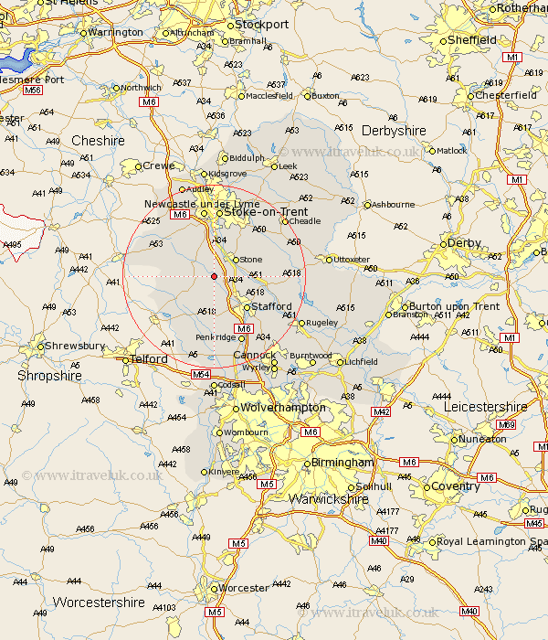
Staffordshire Map Showing Location of Norton Bridge
District: Stafford
Easting: 386537 Northing: 329968
Latitude: 52.87 Longitude: -2.2
 = Norton Bridge
Easting: 386537 Northing: 329968
Latitude: 52.87 Longitude: -2.2
= Norton Bridge
This Norton Bridge map below is supplied by Google. Use the tools in the top left corner to zoom into street level or zoom out for a road map, you may also need to zoom in to see Norton Bridge on the map. Click and drag the map to move around. If the map fails to load try and refresh your browser or zoom in or out (+ or -).
Update - it seems Google no longer allow people to use their maps for free! This Norton Bridge map sometimes loads and sometimes gives a error. I am working on a solution.
Closest 30 Towns or Cities to Norton Bridge (Population over 500)
Eccleshall 3.84km Swinnerton 5.67km Swynnerton 5.67km Seighford 5.67km Stone 5.81km Hopton 7.67km Standon 7.88km Haughton 9.27km Barlaston 9.53km Hilderstone 9.6km High Offley 9.69km Gnosall 9.86km Gnossall 9.86km Stafford 10.01km Adbaston 10.73km Whitmore 12.44km Weston upon Trent 12.86km Weston 12.86km Fulford 12.87km Church Eaton 13.17km Bednall 14.28km Stoke-on-Trent 14.86km Stoke on Trent 14.86km Stoke-upon-Trent 14.86km Stoke 14.86km Stoke upon Trent 14.86km Newcastle under Lyme 14.99km Newcastle-under-Lyme 14.99km Caverswall 15.75km Draycott 15.76km