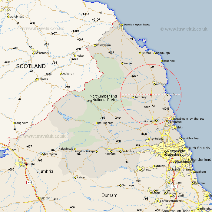
Northumberland Map Showing Location of Newton On The Moor
District: Alnwick
Easting: 416915 Northing: 604397
Latitude: 55.33 Longitude: -1.73
 = Newton On The Moor
Easting: 416915 Northing: 604397
Latitude: 55.33 Longitude: -1.73
= Newton On The Moor
This Newton On The Moor map below is supplied by Google. Use the tools in the top left corner to zoom into street level or zoom out for a road map, you may also need to zoom in to see Newton On The Moor on the map. Click and drag the map to move around. If the map fails to load try and refresh your browser or zoom in or out (+ or -).
Update - it seems Google no longer allow people to use their maps for free! This Newton On The Moor map sometimes loads and sometimes gives a error. I am working on a solution.
Closest 30 Towns or Cities to Newton On The Moor (Population over 500)
Swarland 3.7km Shilbottle 4.88km Felton 5.95km Thirston 6.4km East Thirston 6.4km Longframlington 6.4km Warkworth 7.61km Alnwick 7.71km Almwick 7.71km Lisburg 9.23km Lesbury 9.23km Amble 9.49km Rothbury 10.7km East Chevington 11km Alnmouth 11.22km Longhorsley 11.32km Ellington 16.72km Hebron 16.98km Lynemouth 18.02km Embleton 18.23km Morpeth 18.79km Pegswood 19.58km Ashington 21.01km Hepscott 21.06km Newbiggin by the Sea 21.5km Newbiggin-by-the-Sea 21.5km Bedlington 24.21km Beadnell 24.91km Stannington 26.28km North Sunderland 26.29km