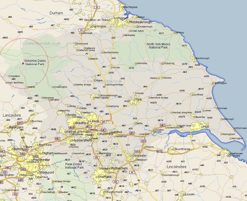
Yorkshire Map Showing Location of Newby Head
District: Richmondshire
Easting: 379369 Northing: 483877
Latitude: 54.25 Longitude: -2.32
 = Newby Head
Easting: 379369 Northing: 483877
Latitude: 54.25 Longitude: -2.32
= Newby Head
This Newby Head map below is supplied by Google. Use the tools in the top left corner to zoom into street level or zoom out for a road map, you may also need to zoom in to see Newby Head on the map. Click and drag the map to move around. If the map fails to load try and refresh your browser or zoom in or out (+ or -).
Update - it seems Google no longer allow people to use their maps for free! This Newby Head map sometimes loads and sometimes gives a error. I am working on a solution.
Closest 30 Towns or Cities to Newby Head (Population over 500)
Hawes 9.4km Ingleton 14.79km Clapham 17.23km Burton in Lonsdale 19.16km High Bentham 20.51km Bentham 20.51km Settle 20.64km Giggleswick 22.48km Bradley 23.05km Long Preston 28.14km Threshfield 29.6km Grassington 29.78km Hellifield 30.36km Middleham 32.68km Gargrave 32.85km Leyburn 32.94km Skipton 37.08km Embsay 38.27km Carleton 39.28km Carlton 39.28km Earby 39.29km Bewerley 40.32km Richmond 41.34km Cononley 41.91km Masham 43.49km Gilling 43.91km Grewelthorpe 43.98km Glusburn 44.06km Kirkby Malzeard 44.33km Dacre 44.96km