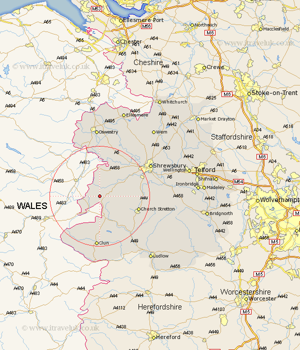
Shropshire Map Showing Location of Meadowtown
District: South Shropshire
Easting: 331149 Northing: 300770
Latitude: 52.6 Longitude: -3.02
 = Meadowtown
Easting: 331149 Northing: 300770
Latitude: 52.6 Longitude: -3.02
= Meadowtown
This Meadowtown map below is supplied by Google. Use the tools in the top left corner to zoom into street level or zoom out for a road map, you may also need to zoom in to see Meadowtown on the map. Click and drag the map to move around. If the map fails to load try and refresh your browser or zoom in or out (+ or -).
Update - it seems Google no longer allow people to use their maps for free! This Meadowtown map sometimes loads and sometimes gives a error. I am working on a solution.
Closest 30 Towns or Cities to Meadowtown (Population over 500)
Shelve 2.92km Chirburg 4.87km Chirbury 4.87km Minsterley 6.74km Westbury 10.3km Pontesbury 10.58km Alberbury 13.73km North Lydbury 15.49km Lydbury North 15.49km Church Stretton 15.66km Great Hanwood 16.37km Hanwood 16.37km Ford 17.17km Wistanstow 18.62km Condover 18.84km Baystonhill 19.46km Bicton 20.04km Great Ness 20.14km Clun 20.41km Kinnerley 20.5km Pant 20.66km Llanyblodwel 21.85km Berrington 22.09km Rushbury 22.3km Craven Arms 22.31km Baschurch 22.75km Shrewsbury 23.1km West Felton 24.2km Diddlebury 25.13km Bucknell 26.33km