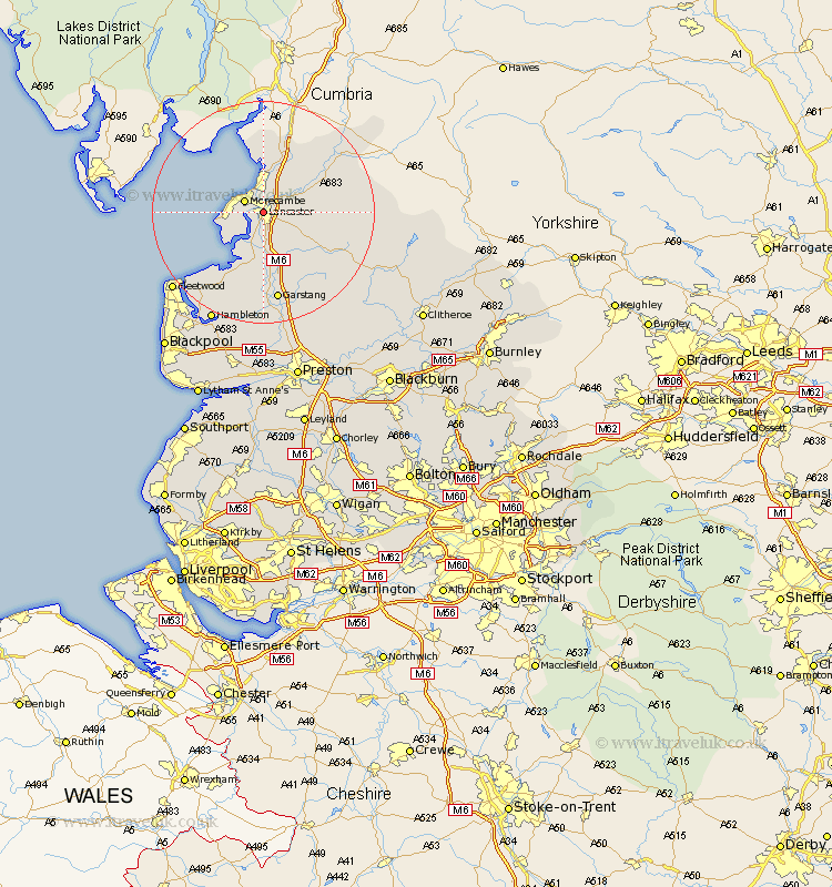
Lancashire Map Showing Location of Lancaster
Population: 47888
Area Size (ha): 885
District: Lancaster
Easting: 345468 Northing: 463759
Latitude: 54.05 Longitude: -2.8
 = Lancaster
Area Size (ha): 885
District: Lancaster
Easting: 345468 Northing: 463759
Latitude: 54.05 Longitude: -2.8
= Lancaster
This Lancaster map below is supplied by Google. Use the tools in the top left corner to zoom into street level or zoom out for a road map, you may also need to zoom in to see Lancaster on the map. Click and drag the map to move around. If the map fails to load try and refresh your browser or zoom in or out (+ or -).
Update - it seems Google no longer allow people to use their maps for free! This Lancaster map sometimes loads and sometimes gives a error. I am working on a solution.
Closest 30 Towns or Cities to Lancaster (Population over 500)
Morecambe 3.77km Morecombe 3.77km Bolton le Sands 4.28km Overton 6.02km Caton 6.08km Nether Kellet 6.87km Middleton 7.37km Carnforth 8.14km Over Kellet 9.02km Warton 9.92km Cockerham 10.79km Forton 10.83km Silverdale 13.37km Pilling 14.63km Garstang 16.49km Preesall 17.97km Catterall 20.16km Fleetwood 20.7km Claughton on Brock 20.8km Claughton 20.8km Claughton-on-Brock 20.8km Hambleton 21.75km Great Eccleston 22.26km Eccleston 22.26km Chipping 23.18km Inskip 23.81km Elswick 24.3km Thornton 24.4km Singleton 25.21km Great Singleton 25.21km