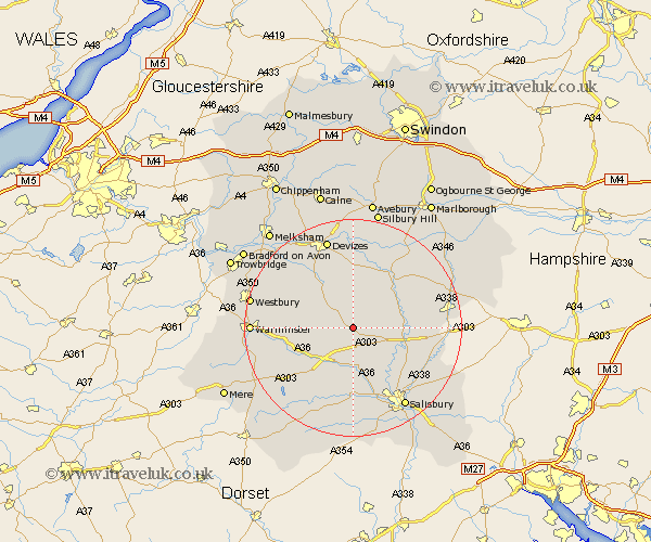
Wiltshire Map Showing Location of Maddington
District: Salisbury
Easting: 405821 Northing: 144592
Latitude: 51.2 Longitude: -1.92
 = Maddington
Easting: 405821 Northing: 144592
Latitude: 51.2 Longitude: -1.92
= Maddington
This Maddington map below is supplied by Google. Use the tools in the top left corner to zoom into street level or zoom out for a road map, you may also need to zoom in to see Maddington on the map. Click and drag the map to move around. If the map fails to load try and refresh your browser or zoom in or out (+ or -).
Update - it seems Google no longer allow people to use their maps for free! This Maddington map sometimes loads and sometimes gives a error. I am working on a solution.
Closest 30 Towns or Cities to Maddington (Population over 500)
Shrewton 2.19km Lark Hill 7.21km Longford 7.51km Steeple Langford 7.51km West Lavington 8.04km Figheldean 9.47km Enford 9.85km Netheravon 10km Amesbury 10km Market Lavington 10.36km Lavington 10.36km Bulford 10.45km Durrington 10.62km Codford 10.83km Urchfont 11.18km Upavon 11.59km South Newton 11.65km Wilton 13.44km Dinton 13.78km Erlestoke 13.96km Heytesbury 14.06km Potterne 14.72km Edington 14.76km Bratton 15.78km Idmiston 15.79km Winterbourne 16.09km Winterbourne Dauntsey 16.09km Worton 16.65km Devizes 17.31km Salisbury 17.5km