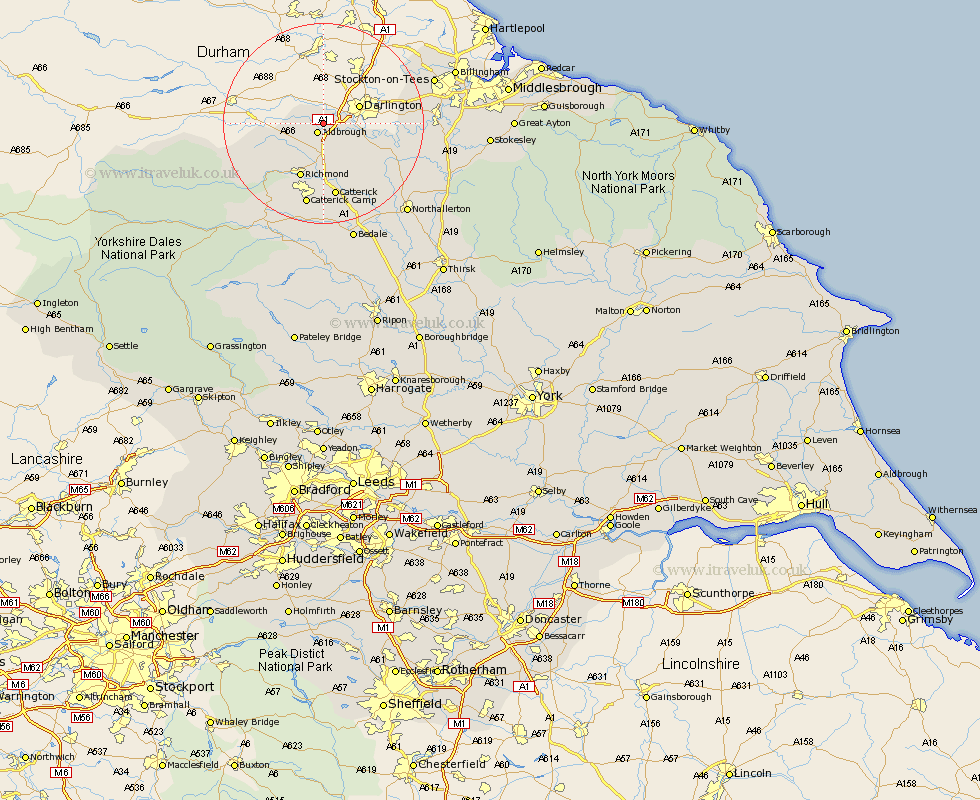
Yorkshire Map Showing Location of Lucy Cross
District: Richmondshire
Easting: 421584 Northing: 511696
Latitude: 54.5 Longitude: -1.67
 = Lucy Cross
Easting: 421584 Northing: 511696
Latitude: 54.5 Longitude: -1.67
= Lucy Cross
This Lucy Cross map below is supplied by Google. Use the tools in the top left corner to zoom into street level or zoom out for a road map, you may also need to zoom in to see Lucy Cross on the map. Click and drag the map to move around. If the map fails to load try and refresh your browser or zoom in or out (+ or -).
Update - it seems Google no longer allow people to use their maps for free! This Lucy Cross map sometimes loads and sometimes gives a error. I am working on a solution.
Closest 30 Towns or Cities to Lucy Cross (Population over 500)
Melsonby 2.15km Barton 3.86km Middleton Tyas 5.66km Gilling 8.09km Richmond 11.93km East Cowton 12.65km Cowton 12.65km North Cowton 13.44km Scorton 13.67km Catterick 14.98km Crakehall 22.47km Brompton 23.23km Northallerton 23.91km Leyburn 24.27km Bedale 24.69km Middleham 25.98km Middleton 26.1km Middleton upon Leven 26.1km Osmotherley 27.97km Whorlton 28.48km Seamer 29.3km Stokesley 30.37km Masham 31.52km Great Broughton 32.78km West Tanfield 33.98km Tanfield 33.98km Middlebrough 34.15km Middlesborough 34.15km Middlesbrough 34.15km South Bank in Normanby 34.15km