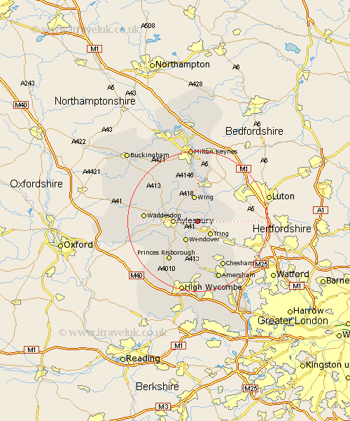
Buckinghamshire Map Showing Location of Long Marston
District: Aylesbury Vale
Easting: 489599 Northing: 213967
Latitude: 51.82 Longitude: -0.7
 = Long Marston
Easting: 489599 Northing: 213967
Latitude: 51.82 Longitude: -0.7
= Long Marston
This Long Marston map below is supplied by Google. Use the tools in the top left corner to zoom into street level or zoom out for a road map, you may also need to zoom in to see Long Marston on the map. Click and drag the map to move around. If the map fails to load try and refresh your browser or zoom in or out (+ or -).
Update - it seems Google no longer allow people to use their maps for free! This Long Marston map sometimes loads and sometimes gives a error. I am working on a solution.
Closest 30 Towns or Cities to Long Marston (Population over 500)
Aston Clinton 2.18km Buckland 2.18km Marsworth 2.29km Cheddington 2.94km Halton 4.36km Weston Turville 5.06km Pitstone 5.73km Ivinghoe 6.02km Wendover 6.54km Stoke Mandeville 6.83km Aylesbury 6.87km Slapton 7.2km Wing 7.49km Edlesborough 8.83km Ellesborough 9.37km Stone 10.48km Lee 11.18km Kimble 11.55km Great Kimble 11.55km Stewkley 11.64km Whitchurch 11.78km Whitechurch 11.78km Great Missenden 12.98km Soulbury 13.02km Prestwood 13.18km North Marston 13.63km Princes Risborough 13.71km Longwick 13.87km Chesham 14.69km Great Brickhill 14.87km