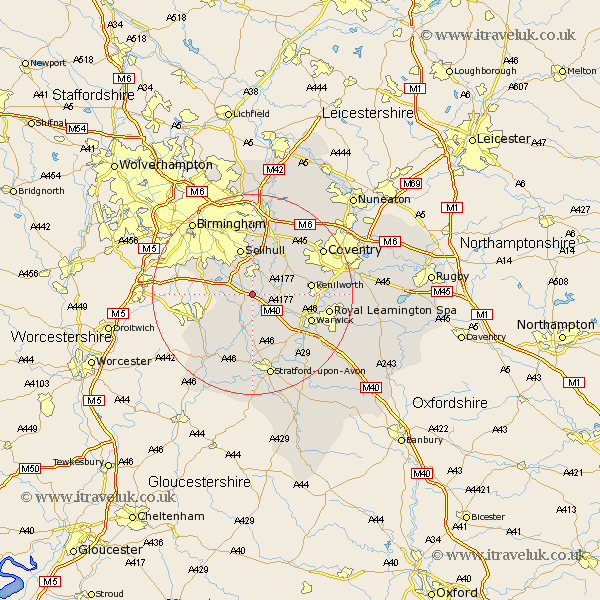
Warwickshire Map Showing Location of Lapworth
Population: 1737
District: Warwick
Easting: 417033 Northing: 270655
Latitude: 52.33 Longitude: -1.75
 = Lapworth
District: Warwick
Easting: 417033 Northing: 270655
Latitude: 52.33 Longitude: -1.75
= Lapworth
This Lapworth map below is supplied by Google. Use the tools in the top left corner to zoom into street level or zoom out for a road map, you may also need to zoom in to see Lapworth on the map. Click and drag the map to move around. If the map fails to load try and refresh your browser or zoom in or out (+ or -).
Update - it seems Google no longer allow people to use their maps for free! This Lapworth map sometimes loads and sometimes gives a error. I am working on a solution.
Closest 30 Towns or Cities to Lapworth (Population over 500)
Rowington 3.87km Knowle 5.67km Henley in Arden 5.68km Temple Balsall 5.85km Ullenhall 5.85km Shrewley 6.77km Hatton 7.74km Claverdon 8.15km Wootton Wawen 9.34km Solihull 9.54km Hampton in Arden 9.87km Berkswell 10.85km Berkeswell 10.85km Bearley 11.18km Snitterfield 11.18km Kenilworth 11.47km Aston Cantlow 11.63km Studley 11.71km Warwick 12.62km Bickenhill 13.17km Great Alne 13.74km Meriden 14.33km Barford 15.09km Leamington 15.19km Royal Leamington Spa 15.19km Leamington Spa 15.19km Alcester 15.21km Stoneleigh 15.96km Allesley 16.44km Coventry 16.44km