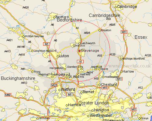
Hertfordshire Map Showing Location of Little Wymondley
District: North Hertfordshire
Easting: 522637 Northing: 225792
Latitude: 51.92 Longitude: -0.22
 = Little Wymondley
Easting: 522637 Northing: 225792
Latitude: 51.92 Longitude: -0.22
= Little Wymondley
This Little Wymondley map below is supplied by Google. Use the tools in the top left corner to zoom into street level or zoom out for a road map, you may also need to zoom in to see Little Wymondley on the map. Click and drag the map to move around. If the map fails to load try and refresh your browser or zoom in or out (+ or -).
Update - it seems Google no longer allow people to use their maps for free! This Little Wymondley map sometimes loads and sometimes gives a error. I am working on a solution.
Closest 30 Towns or Cities to Little Wymondley (Population over 500)
Wymondley 1.85km Great Wymondley 1.85km Graveley 2.17km Weston 5.05km Hitchin 5.05km Letchworth 5.56km Walkern 5.72km Aston 5.89km Ickleford 6.53km Codicote 7.5km Baldock 7.75km Knebworth 7.76km Pirton 7.79km Great Offley 8km Offley 8km Datchworth 8.72km Kimpton 8.72km Benington 8.82km Bennington 8.82km Welwyn 9.27km Cottered 9.33km Watton at Stone 10.92km Watton 10.92km Tewin 12.03km Harmer Green 12.04km Stapleford 12.25km Little Munden 12.72km Garden City 13.03km Welwyn Garden City 13.03km Ashwell 13.75km