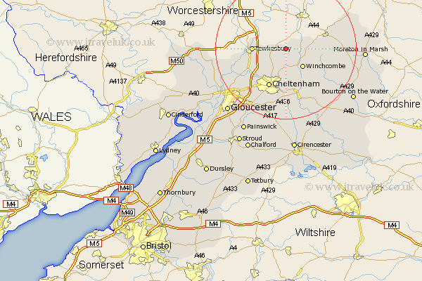
Gloucestershire Map Showing Location of Little Washbourne
District: Tewkesbury
Easting: 398855 Northing: 233553
Latitude: 52 Longitude: -2.02
 = Little Washbourne
Easting: 398855 Northing: 233553
Latitude: 52 Longitude: -2.02
= Little Washbourne
This Little Washbourne map below is supplied by Google. Use the tools in the top left corner to zoom into street level or zoom out for a road map, you may also need to zoom in to see Little Washbourne on the map. Click and drag the map to move around. If the map fails to load try and refresh your browser or zoom in or out (+ or -).
Update - it seems Google no longer allow people to use their maps for free! This Little Washbourne map sometimes loads and sometimes gives a error. I am working on a solution.
Closest 30 Towns or Cities to Little Washbourne (Population over 500)
Alderton 2.18km Dumbleton 3.89km Bishops Cleeve 6.53km Ashchurch 6.85km Winchcomb 7.19km Winchcombe 7.19km Southam 7.76km Tewkesbury 9.13km Swindon 9.36km Cheltenham 12.02km Deerhurst 13.09km Staverton 13.84km Charlton Kings 15.21km Leckhampton 15.51km Andoversford 15.51km Shurdington 16.33km Chipping Campden 16.39km Churchdown 16.56km Innsworth 18.06km Blockley 18.35km Ashleworth 18.66km Withington 19.09km Mickleton 19.45km Brockworth 19.6km Ebrington 20.17km Hucclecote 20.22km Corse 20.78km Stow-on-the-Wold 20.78km Stow on the Wold 20.78km Hartpury 21.51km