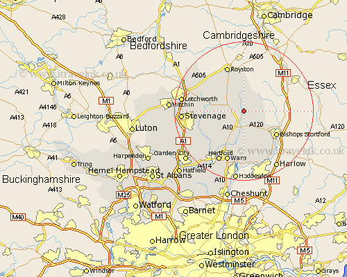
Hertfordshire Map Showing Location of Little Hormead
District: East Hertfordshire
Easting: 539776 Northing: 228088
Latitude: 51.93 Longitude: 0.03
 = Little Hormead
Easting: 539776 Northing: 228088
Latitude: 51.93 Longitude: 0.03
= Little Hormead
This Little Hormead map below is supplied by Google. Use the tools in the top left corner to zoom into street level or zoom out for a road map, you may also need to zoom in to see Little Hormead on the map. Click and drag the map to move around. If the map fails to load try and refresh your browser or zoom in or out (+ or -).
Update - it seems Google no longer allow people to use their maps for free! This Little Hormead map sometimes loads and sometimes gives a error. I am working on a solution.
Closest 30 Towns or Cities to Little Hormead (Population over 500)
Hormead 1.86km Braughing 3.87km Buntingford 3.9km Albury 5.05km Standon 5.56km Little Hadham 6.53km Barkway 7.5km Cottered 8km Little Munden 9.36km Much Hadham 9.88km Benington 10.7km Bennington 10.7km Therfield 10.89km Barley 11.12km Walkern 11.58km Thundridge 11.64km Bishops Stortford 11.77km Bishops Strotford 11.77km Bishop's Stortford 11.77km Thorley 12.24km Widford 12.96km Watton at Stone 13.02km Watton 13.02km Aston 13.75km Royston 13.76km Weston 13.83km Stapleford 14.4km Sawbridgeworth 15.24km Ware 15.51km Datchworth 15.62km