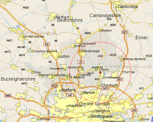
Hertfordshire Map Showing Location of Little Amwell
Population: 2652
Area Size (ha): 71
District: East Hertfordshire
Easting: 535644 Northing: 211283
Latitude: 51.78 Longitude: -0.03
 = Little Amwell
Area Size (ha): 71
District: East Hertfordshire
Easting: 535644 Northing: 211283
Latitude: 51.78 Longitude: -0.03
= Little Amwell
This Little Amwell map below is supplied by Google. Use the tools in the top left corner to zoom into street level or zoom out for a road map, you may also need to zoom in to see Little Amwell on the map. Click and drag the map to move around. If the map fails to load try and refresh your browser or zoom in or out (+ or -).
Update - it seems Google no longer allow people to use their maps for free! This Little Amwell map sometimes loads and sometimes gives a error. I am working on a solution.
Closest 30 Towns or Cities to Little Amwell (Population over 500)
Great Amwell 1.15km Ware 1.86km Hertford 2.95km Stanstead Abbots 3.44km Hoddesdon 4.36km Hertingfordbury 4.59km Thundridge 5.68km Widford 5.9km Stapleford 7.21km Harmer Green 8.48km Watton 8.72km Watton at Stone 8.72km Tewin 8.84km Essendon 8.84km Cheshunt 9.26km Little Munden 9.34km Bishops Hatfield 9.36km Cuffley 10.9km Datchworth 10.92km Much Hadham 10.92km Garden City 11.61km Welwyn Garden City 11.61km Brookmans Park 11.73km Benington 12.03km Bennington 12.03km Standon 12.03km Knebworth 12.7km Sawbridgeworth 13.14km Braughing 13.42km Hatfield 13.43km