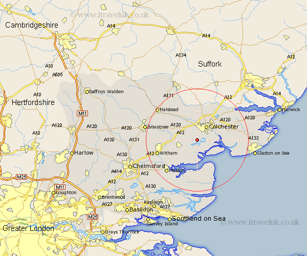
Essex Map Showing Location of Layer De La Haye
Population: 1755
Area Size (ha): 85
District: Colchester
Easting: 596342 Northing: 218855
Latitude: 51.83 Longitude: 0.85
 = Layer De La Haye
Area Size (ha): 85
District: Colchester
Easting: 596342 Northing: 218855
Latitude: 51.83 Longitude: 0.85
= Layer De La Haye
This Layer De La Haye map below is supplied by Google. Use the tools in the top left corner to zoom into street level or zoom out for a road map, you may also need to zoom in to see Layer De La Haye on the map. Click and drag the map to move around. If the map fails to load try and refresh your browser or zoom in or out (+ or -).
Update - it seems Google no longer allow people to use their maps for free! This Layer De La Haye map sometimes loads and sometimes gives a error. I am working on a solution.
Closest 30 Towns or Cities to Layer De La Haye (Population over 500)
Birch 2.29km Peldon 3.9km Copford 3.91km Fingringhoe 5.73km Marks Tey 5.9km Colchester 6.53km Rowhedge 7.12km Tolleshunt Knights 7.21km West Mersea 8.16km Tolleshunt D'Arcy 8.17km Winehoe 8.23km Wivenhoe 8.23km Wyvenhoe 8.23km Tiptree 8.83km Tollesbury 9.33km West Bergholt 9.34km Alresford 9.35km Feering 9.35km Fordham 9.89km Great Tey 10.11km Kelvedon 10.31km Tolleshunt Major 10.89km Chappel 10.9km Chapel 10.9km Totham 10.96km Great Totham 10.96km Great Horkesley 11.18km Horkesley 11.18km Wakes Colne 11.54km Coggeshall 12.04km