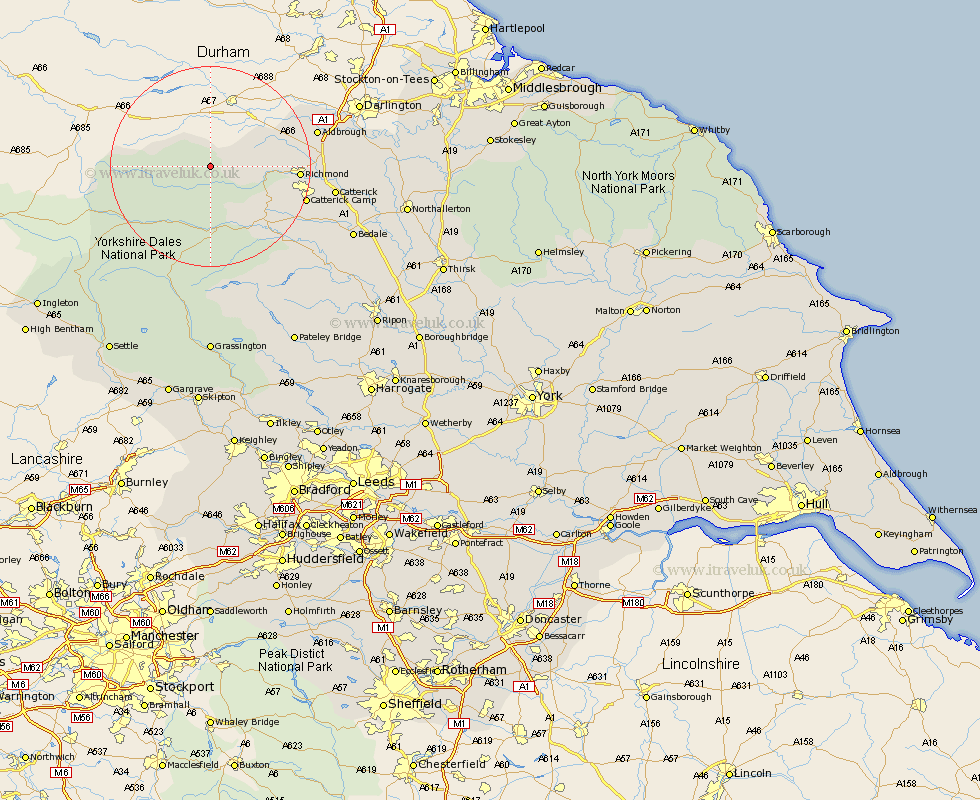
Yorkshire Map Showing Location of Langthwaite
District: Richmondshire
Easting: 401081 Northing: 502377
Latitude: 54.42 Longitude: -1.98
 = Langthwaite
Easting: 401081 Northing: 502377
Latitude: 54.42 Longitude: -1.98
= Langthwaite
This Langthwaite map below is supplied by Google. Use the tools in the top left corner to zoom into street level or zoom out for a road map, you may also need to zoom in to see Langthwaite on the map. Click and drag the map to move around. If the map fails to load try and refresh your browser or zoom in or out (+ or -).
Update - it seems Google no longer allow people to use their maps for free! This Langthwaite map sometimes loads and sometimes gives a error. I am working on a solution.
Closest 30 Towns or Cities to Langthwaite (Population over 500)
Richmond 16.29km Leyburn 16.88km Gilling 17.35km Middleham 18.35km Hawes 19.12km Melsonby 20.76km Middleton Tyas 21.87km Barton 22.26km Bradley 22.27km Catterick 23.33km Scorton 25.09km Crakehall 27.07km North Cowton 28.1km Cowton 29.12km East Cowton 29.12km Bedale 29.87km Masham 31.02km Grewelthorpe 33.78km Kirkby Malzeard 35.22km West Tanfield 36.21km Tanfield 36.21km Northallerton 36.81km Brompton 37.44km Grassington 38.92km Bewerley 39.65km Threshfield 40.83km Settle 43.05km Ingleton 43.17km Clapham 43.76km Dacre 44.31km