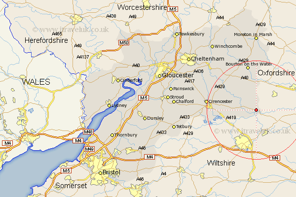
Gloucestershire Map Showing Location of Lechlade
Population: 1590
Area Size (ha): 66
District: Cotswold
Easting: 420730 Northing: 200233
Latitude: 51.7 Longitude: -1.7
 = Lechlade
Area Size (ha): 66
District: Cotswold
Easting: 420730 Northing: 200233
Latitude: 51.7 Longitude: -1.7
= Lechlade
This Lechlade map below is supplied by Google. Use the tools in the top left corner to zoom into street level or zoom out for a road map, you may also need to zoom in to see Lechlade on the map. Click and drag the map to move around. If the map fails to load try and refresh your browser or zoom in or out (+ or -).
Update - it seems Google no longer allow people to use their maps for free! This Lechlade map sometimes loads and sometimes gives a error. I am working on a solution.
Closest 30 Towns or Cities to Lechlade (Population over 500)
Fairford 5.74km Kempsford 5.9km Quenington 6.03km Bibury 9.77km Ampney St. Peter 12.63km Ampney 12.63km Ampney St Peter 12.63km Ampney Saint Peter 12.63km Cerney 15.39km South Cerney 15.39km Northleach 16.86km Siddington 17.33km Chedworth 18.6km Bourton on the Water 18.85km Bourton-on-the-Water 18.85km North Cerney 19.81km Cicester 19.87km Cirencester 19.87km Bledington 20.89km Withington 22.71km Andoversford 25.28km Stow on the Wold 26.04km Stow-on-the-Wold 26.04km Charlton Kings 31.3km Moreton-in-Marsh 31.5km Moreton in the Marsh 31.5km Moreton in Marsh 31.5km Minchinhampton 32.16km Avening 32.22km Leckhampton 32.23km