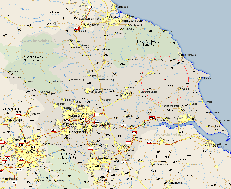
Yorkshire Map Showing Location of Kirkby Grindalythe
District: Ryedale
Easting: 490484 Northing: 466169
Latitude: 54.08 Longitude: -0.62
 = Kirkby Grindalythe
Easting: 490484 Northing: 466169
Latitude: 54.08 Longitude: -0.62
= Kirkby Grindalythe
This Kirkby Grindalythe map below is supplied by Google. Use the tools in the top left corner to zoom into street level or zoom out for a road map, you may also need to zoom in to see Kirkby Grindalythe on the map. Click and drag the map to move around. If the map fails to load try and refresh your browser or zoom in or out (+ or -).
Update - it seems Google no longer allow people to use their maps for free! This Kirkby Grindalythe map sometimes loads and sometimes gives a error. I am working on a solution.
Closest 30 Towns or Cities to Kirkby Grindalythe (Population over 500)
Rillington 9.19km Wetwang 9.82km Sherburn 11.33km Norton 11.44km Great Driffield 12.1km Yedingham 12.98km Malton 13.78km Driffield 14.69km Snainton 14.99km Brompton 15.46km Willerby 15.54km North Frodingham 15.62km Kilham 16.73km Nafferton 16.94km Thornton Dale 17.91km Thornton-le-Dale 17.91km Pocklington 18.82km Cranswick 19.06km Fangfoss 19.19km Seamer 20.51km Slingsby 20.91km Pickering 20.95km Barmby on the Moor 21.19km Barmby 21.19km Barmby-on-the-Moor 21.19km Hunmanby 21.64km Eastfield 21.85km Lockington 22.17km Stamford Bridge 22.53km Wilberfoss 22.87km