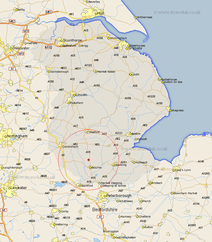
Lincolnshire Map Showing Location of Kirby Underwood
District: South Kesteven
Easting: 507816 Northing: 325587
Latitude: 52.82 Longitude: -0.4
 = Kirby Underwood
Easting: 507816 Northing: 325587
Latitude: 52.82 Longitude: -0.4
= Kirby Underwood
This Kirby Underwood map below is supplied by Google. Use the tools in the top left corner to zoom into street level or zoom out for a road map, you may also need to zoom in to see Kirby Underwood on the map. Click and drag the map to move around. If the map fails to load try and refresh your browser or zoom in or out (+ or -).
Update - it seems Google no longer allow people to use their maps for free! This Kirby Underwood map sometimes loads and sometimes gives a error. I am working on a solution.
Closest 30 Towns or Cities to Kirby Underwood (Population over 500)
Rippingale 2.24km Morton 4.33km Folkingham 5.56km Bourne 5.67km Bourn 5.67km Pointon 5.81km Corby 8.06km Billingborough 8.65km Ropsley 10.78km Thurlby 11.34km Castle Bytham 12.9km Baston 13.41km Langtoft 13.73km Langfoft 13.73km Helpringham 14.6km Colsterworth 14.68km Spalding 16.12km Donington 16.31km South Witham 16.35km Quadring 16.63km Great Hale 16.76km Hale 16.76km Pinchbeck 16.91km Gosberton 17.2km Deeping St Nicholas 17.46km Deeping St. Nicholas 17.46km Deeping Saint Nicholas 17.46km Market Deeping 17.99km Surfleet 18.01km Grantham 18.2km