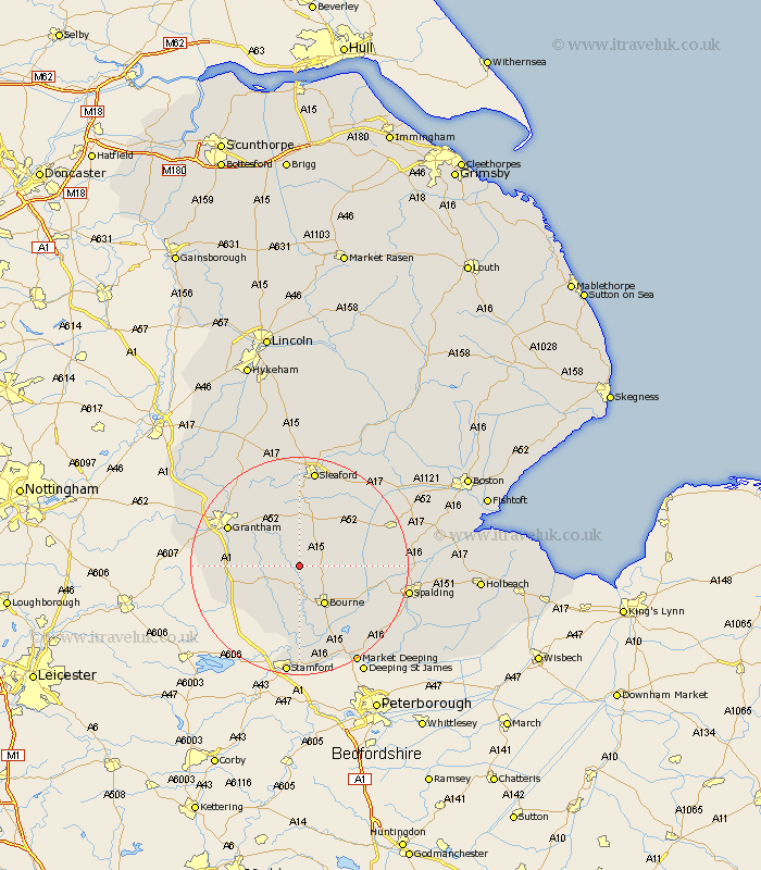
Lincolnshire Map Showing Location of Keisby
District: South Kesteven
Easting: 504407 Northing: 327359
Latitude: 52.83 Longitude: -0.45
 = Keisby
Easting: 504407 Northing: 327359
Latitude: 52.83 Longitude: -0.45
= Keisby
This Keisby map below is supplied by Google. Use the tools in the top left corner to zoom into street level or zoom out for a road map, you may also need to zoom in to see Keisby on the map. Click and drag the map to move around. If the map fails to load try and refresh your browser or zoom in or out (+ or -).
Update - it seems Google no longer allow people to use their maps for free! This Keisby map sometimes loads and sometimes gives a error. I am working on a solution.
Closest 30 Towns or Cities to Keisby (Population over 500)
Folkingham 5.01km Corby 5.81km Rippingale 5.9km Ropsley 7.14km Morton 7.89km Pointon 8.05km Bourn 8.66km Bourne 8.66km Billingborough 9.61km Colsterworth 11.8km Castle Bytham 12.45km Thurlby 14.13km Grantham 14.37km South Witham 14.54km Helpringham 15km Belton 15km Ancaster 15.85km Harlaxton 16.1km Baston 16.28km Langtoft 16.77km Langfoft 16.77km Hale 17.13km Great Hale 17.13km Great Gonerby 17.25km Barrowby 17.33km Sleaford 17.99km Donington 18.35km Heckington 18.57km Quadring 19.39km Spalding 19.84km