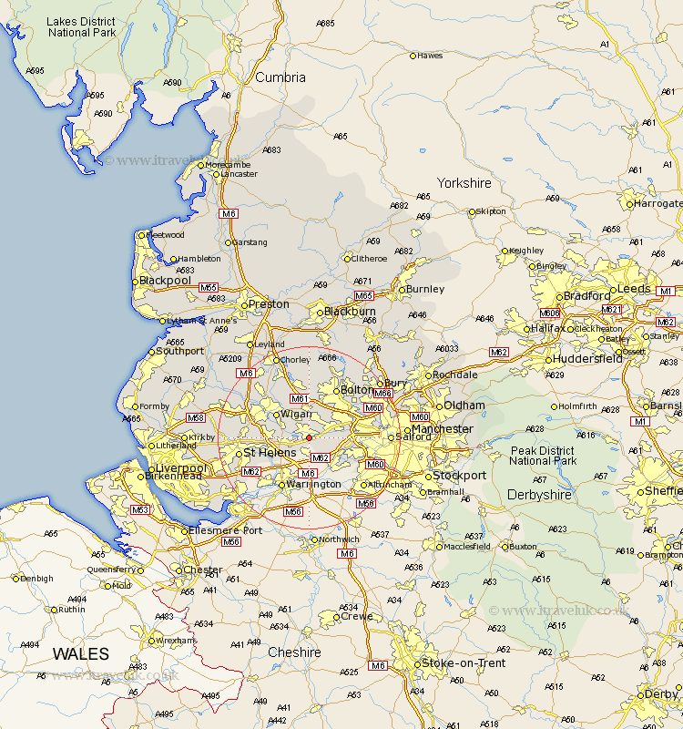
Lancashire Map Showing Location of Leigh
Population: 42727
Area Size (ha): 858
District: Wigan
Easting: 365718 Northing: 398664
Latitude: 53.48 Longitude: -2.52
 = Leigh
Area Size (ha): 858
District: Wigan
Easting: 365718 Northing: 398664
Latitude: 53.48 Longitude: -2.52
= Leigh
This Leigh map below is supplied by Google. Use the tools in the top left corner to zoom into street level or zoom out for a road map, you may also need to zoom in to see Leigh on the map. Click and drag the map to move around. If the map fails to load try and refresh your browser or zoom in or out (+ or -).
Update - it seems Google no longer allow people to use their maps for free! This Leigh map sometimes loads and sometimes gives a error. I am working on a solution.
Closest 30 Towns or Cities to Leigh (Population over 500)
Leigh 0km Atherton 3.87km Tyldesley 4.97km Abram 5.76km Golborne 5.82km Hindley 7.09km Westhoughton 7.41km Walkden 8.56km Ince 8.64km Wigan 8.64km Ince-in-Makerfield 8.64km Irlam 8.65km Ashton 8.82km Ashton in Makerfield 8.82km Haydock 10.1km Kearsley 10.42km Farnworth 10.7km Swinton 11.18km Urmston 11.64km Blackrod 11.96km Eccles 12.13km Billinge 12.27km Little Lever 12.38km Bolton 12.41km Pendlebury 12.68km Horwich 13.16km Haigh 13.7km Stretford 13.75km Adlington 14.09km Radcliffe 14.21km