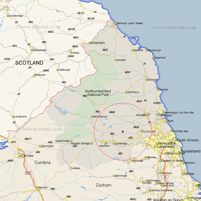
Northumberland Map Showing Location of Ingoe
District: Castle Morpeth
Easting: 404259 Northing: 572843
Latitude: 55.05 Longitude: -1.93
 = Ingoe
Easting: 404259 Northing: 572843
Latitude: 55.05 Longitude: -1.93
= Ingoe
This Ingoe map below is supplied by Google. Use the tools in the top left corner to zoom into street level or zoom out for a road map, you may also need to zoom in to see Ingoe on the map. Click and drag the map to move around. If the map fails to load try and refresh your browser or zoom in or out (+ or -).
Update - it seems Google no longer allow people to use their maps for free! This Ingoe map sometimes loads and sometimes gives a error. I am working on a solution.
Closest 30 Towns or Cities to Ingoe (Population over 500)
Stamfordham 4.64km Ovingham 10.19km Sandhoe 10.5km Wylam 10.68km Corbridge 10.68km Chollerton 10.78km Challerton 10.78km Ponteland 11.68km Prudhoe 12.32km Humshaugh 12.88km Acomb 12.96km Stocksfield 13.02km Riding 13.15km Ridingmill 13.15km Hexham 14.1km Warden 14.75km Newburn 15.76km Dinnington 15.92km Woolsington 16.36km Newbrough 16.88km Slaley 17.86km Stannington 17.86km Wark 18.14km Morpeth 20.52km Gosforth 20.93km Hepscott 21.18km Haydon Bridge 21.25km Hebron 21.74km Dudley 21.91km Bellingham 22.09km