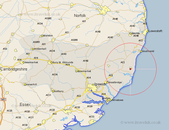
Suffolk Map Showing Location of Leiston
Population: 6141
Area Size (ha): 177
District: Suffolk Coastal
Easting: 643698 Northing: 261793
Latitude: 52.2 Longitude: 1.57
 = Leiston
Area Size (ha): 177
District: Suffolk Coastal
Easting: 643698 Northing: 261793
Latitude: 52.2 Longitude: 1.57
= Leiston
This Leiston map below is supplied by Google. Use the tools in the top left corner to zoom into street level or zoom out for a road map, you may also need to zoom in to see Leiston on the map. Click and drag the map to move around. If the map fails to load try and refresh your browser or zoom in or out (+ or -).
Update - it seems Google no longer allow people to use their maps for free! This Leiston map sometimes loads and sometimes gives a error. I am working on a solution.
Closest 30 Towns or Cities to Leiston (Population over 500)
Saxmundham 4.91km Snape 4.91km Thorpeness 5.03km Thorpe 5.03km Aldeburgh 6.01km Yoxford 8.16km Tunstall 10.88km Wenhaston 13.03km Orford 13.17km Rendlesham 13.8km Wickham Market 14.73km Holton 15.21km Cookley 15.21km Framlingham 16.01km Southwold 16.81km Wangford 17.02km Halesworth 17.28km Ufford 17.44km Laxfield 17.58km Reydon 18.01km Hollesley 19km Dennington 19.62km Woodbridge 20.36km Melton 20.36km Sutton 20.94km Wrentham 21.87km Martlesham 22.35km Worlingworth 22.81km Otley 23.4km Stradbroke 24.19km