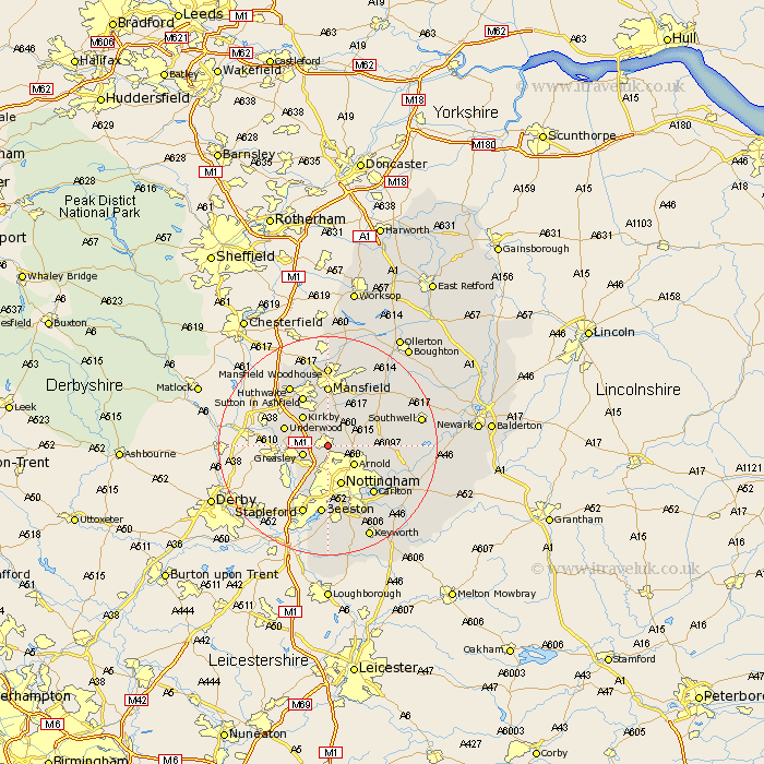
Nottinghamshire Map Showing Location of Hucknall Torkard
District: Gedling
Easting: 453641 Northing: 348779
Latitude: 53.03 Longitude: -1.2
 = Hucknall Torkard
Easting: 453641 Northing: 348779
Latitude: 53.03 Longitude: -1.2
= Hucknall Torkard
This Hucknall Torkard map below is supplied by Google. Use the tools in the top left corner to zoom into street level or zoom out for a road map, you may also need to zoom in to see Hucknall Torkard on the map. Click and drag the map to move around. If the map fails to load try and refresh your browser or zoom in or out (+ or -).
Update - it seems Google no longer allow people to use their maps for free! This Hucknall Torkard map sometimes loads and sometimes gives a error. I am working on a solution.
Closest 30 Towns or Cities to Hucknall Torkard (Population over 500)
Papplewick 2.17km Annesley 3.82km Newstead 3.88km Greasley 4.83km Arnold 5.8km Kirkby 7.12km Kirkby in Ashfield 7.12km Blidworth 7.13km Kimberley 7.13km Eastwood 7.65km Nottigham 7.73km Nottingham 7.73km Claverton 7.8km Calverton 7.8km Awsworth 7.87km Brinsley 8.02km Underwood 8.27km Selston 8.64km Oxton 9.1km Woodborough 9.11km Cossall 9.27km Sutton in Ashfield 10.28km Lambley 10.51km Rainworth 10.82km Mansfield 11.12km Carlton 12.12km Colwick 12.12km Trowell 12.44km Burton Joyce 12.46km Hucknall 12.97km