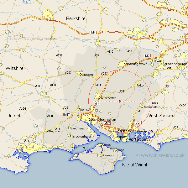
Hampshire Map Showing Location of Hinton Ampner
District: Winchester
Easting: 460764 Northing: 126410
Latitude: 51.03 Longitude: -1.13
 = Hinton Ampner
Easting: 460764 Northing: 126410
Latitude: 51.03 Longitude: -1.13
= Hinton Ampner
This Hinton Ampner map below is supplied by Google. Use the tools in the top left corner to zoom into street level or zoom out for a road map, you may also need to zoom in to see Hinton Ampner on the map. Click and drag the map to move around. If the map fails to load try and refresh your browser or zoom in or out (+ or -).
Update - it seems Google no longer allow people to use their maps for free! This Hinton Ampner map sometimes loads and sometimes gives a error. I am working on a solution.
Closest 30 Towns or Cities to Hinton Ampner (Population over 500)
Bramdean 1.16km Cheriton 2.98km West Meon 3.95km Ropley 5.1km New Alresford 6.03km Corhampton 7.41km East Meon 8.94km Droxford 9.26km Froxfield 9.51km Owslebury 10.04km Upham 10.19km Medstead 10.38km Bishop's Waltham 10.95km Bishops Waltham 10.95km Four Marks 10.95km Soberton 11.12km Swanmore 11.36km Durley 12.35km Faringdon 12.84km Upper Farringdon 12.84km Farringdon 12.84km Kings Worthy 12.91km Twyford 12.96km Winchester 13.08km Shedfield 13.43km Shidfield 13.43km Hambledon 13.78km Waltham Chase 13.78km Steep 14.11km Compton 14.11km