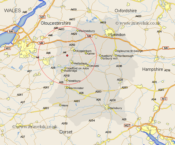
Wiltshire Map Showing Location of Hawthorn
District: North Wiltshire
Easting: 387252 Northing: 168702
Latitude: 51.42 Longitude: -2.18
 = Hawthorn
Easting: 387252 Northing: 168702
Latitude: 51.42 Longitude: -2.18
= Hawthorn
This Hawthorn map below is supplied by Google. Use the tools in the top left corner to zoom into street level or zoom out for a road map, you may also need to zoom in to see Hawthorn on the map. Click and drag the map to move around. If the map fails to load try and refresh your browser or zoom in or out (+ or -).
Update - it seems Google no longer allow people to use their maps for free! This Hawthorn map sometimes loads and sometimes gives a error. I am working on a solution.
Closest 30 Towns or Cities to Hawthorn (Population over 500)
Corsham 2.18km Atworth 3.89km Whitley 3.91km Box 4.62km Laycock 4.98km Lacock 4.98km Broughton Gifford 5.56km Chippenham 5.92km Colerne 6.07km Melksham 6.55km Yatton Keynell 7.49km Holt 7.51km Semington 7.77km Bradford-on-Avon 9.35km Bradford on Avon 9.35km Seend 10.16km Nettleton 10.91km Bremhill 11.04km Hilperton 11.12km Sutton Benger 11.57km Stanton 11.65km Stanton St. Quintin 11.65km Stanton Saint Quintin 11.65km Stanton St Quintin 11.65km Trowbridge 11.65km Rowde 12.78km Calne 12.84km Christian Malford 13.08km Westwood 13.11km Hullavington 13.17km