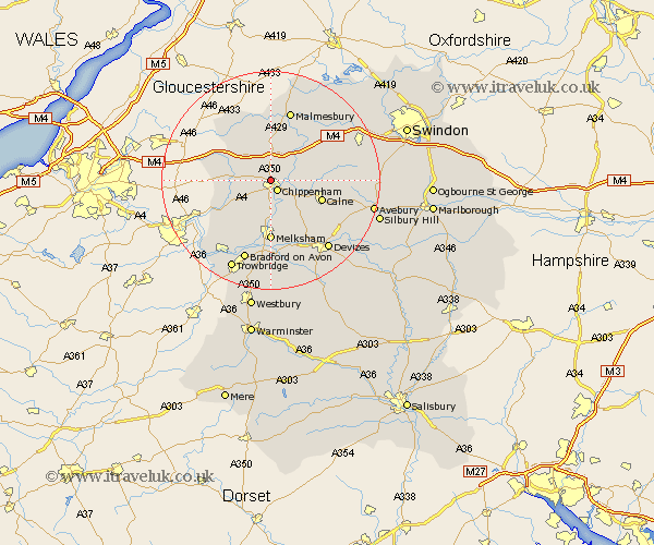
Wiltshire Map Showing Location of Hardenhuish
District: North Wiltshire
Easting: 390739 Northing: 174254
Latitude: 51.47 Longitude: -2.13
 = Hardenhuish
Easting: 390739 Northing: 174254
Latitude: 51.47 Longitude: -2.13
= Hardenhuish
This Hardenhuish map below is supplied by Google. Use the tools in the top left corner to zoom into street level or zoom out for a road map, you may also need to zoom in to see Hardenhuish on the map. Click and drag the map to move around. If the map fails to load try and refresh your browser or zoom in or out (+ or -).
Update - it seems Google no longer allow people to use their maps for free! This Hardenhuish map sometimes loads and sometimes gives a error. I am working on a solution.
Closest 30 Towns or Cities to Hardenhuish (Population over 500)
Chippenham 2.19km Corsham 4.37km Yatton Keynell 4.97km Sutton Benger 5.07km Stanton St Quintin 5.56km Stanton 5.56km Stanton St. Quintin 5.56km Stanton Saint Quintin 5.56km Christian Malford 6.86km Bremhill 7.17km Hullavington 7.5km Lacock 7.51km Laycock 7.51km Great Somerford 8.73km Somerford 8.73km Box 9.81km Nettleton 9.95km Calne 9.96km Colerne 9.96km Atworth 10.36km Whitley 10.39km Melksham 11.12km Hillmarton 11.54km Hilmarton 11.54km Broughton Gifford 11.65km Lea 12.04km Luckington 12.29km Sherston 12.53km Lyneham 12.81km Semington 13.03km