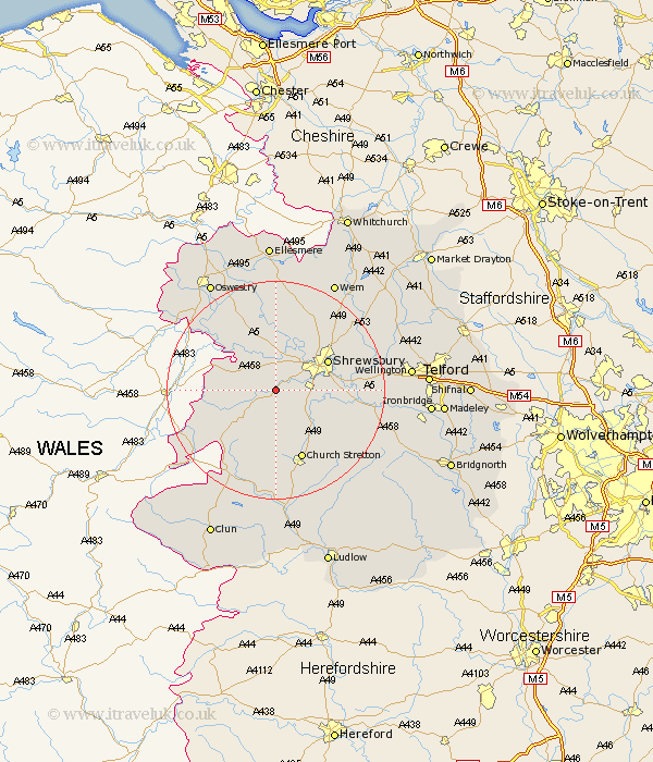
Shropshire Map Showing Location of Halston
District: Shrewsbury and Atcham
Easting: 341396 Northing: 308056
Latitude: 52.67 Longitude: -2.87
 = Halston
Easting: 341396 Northing: 308056
Latitude: 52.67 Longitude: -2.87
= Halston
This Halston map below is supplied by Google. Use the tools in the top left corner to zoom into street level or zoom out for a road map, you may also need to zoom in to see Halston on the map. Click and drag the map to move around. If the map fails to load try and refresh your browser or zoom in or out (+ or -).
Update - it seems Google no longer allow people to use their maps for free! This Halston map sometimes loads and sometimes gives a error. I am working on a solution.
Closest 30 Towns or Cities to Halston (Population over 500)
Pontesbury 2.17km Hanwood 3.84km Great Hanwood 3.84km Ford 5.67km Minsterley 5.83km Westbury 5.91km Baystonhill 7.87km Alberbury 7.9km Condover 8.09km Bicton 8.14km Shrewsbury 10.57km Great Ness 11.34km Berrington 11.39km Shelve 12.17km Baschurch 12.96km Church Stretton 13.74km Hadnall 15.02km Kinnerley 15.16km Cressage 17.27km Chirbury 17.32km Chirburg 17.32km Rodington 18.4km West Felton 18.43km Pant 18.69km Rushbury 19.52km Shawbury 19.52km Ercall Magna 20.21km High Ercall 20.21km Cockshutt 20.41km Cockshut 20.41km